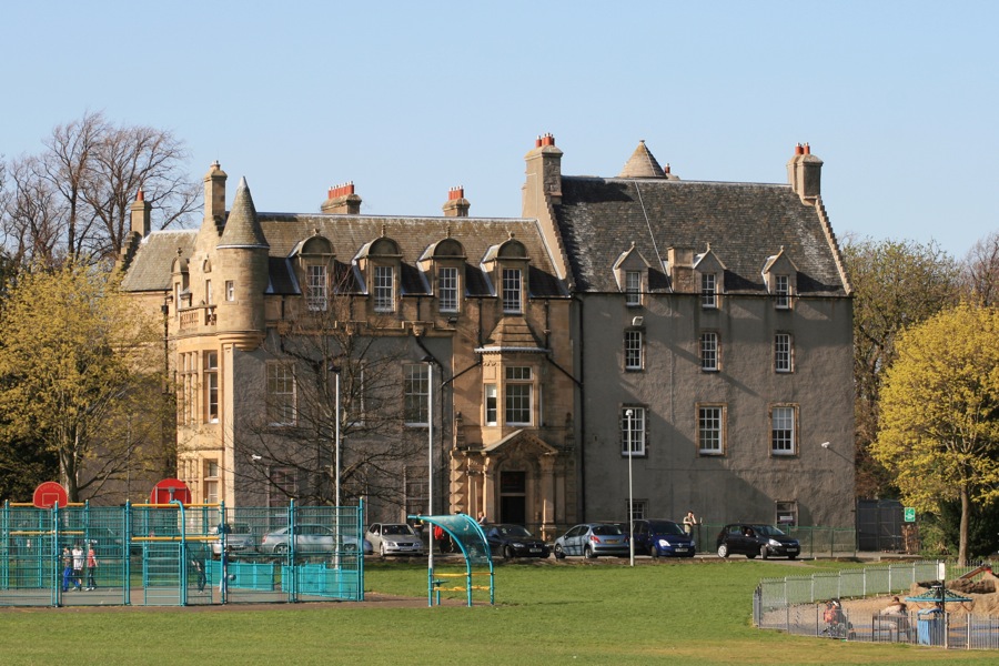
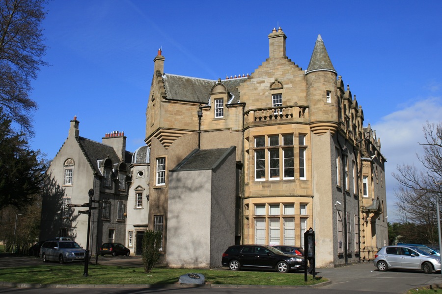
Inch House consists of a 17th century tower house with 19th century additions, however it may also incorporate a 15th century tower.
The lands on which the house stands was once owned by Holyrood Abbey but passed to the Forresters of Corstorphine who may have been responsible for building the first tower in the 15th century. It is thought to have had three floors of accommodation above a vaulted basement.
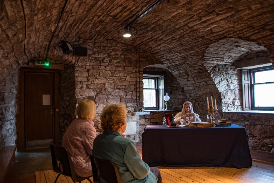
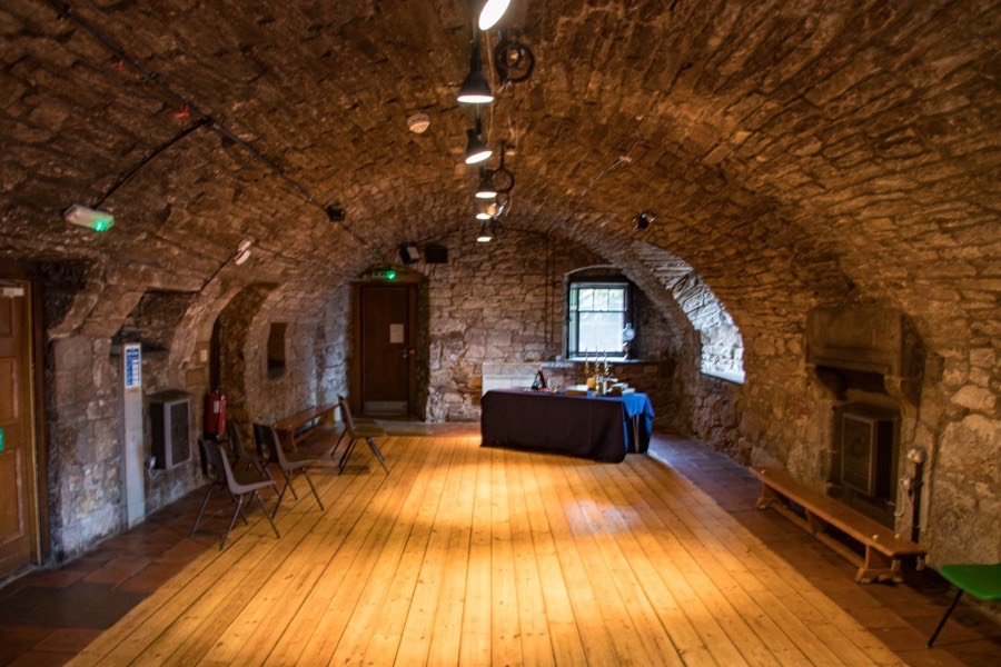
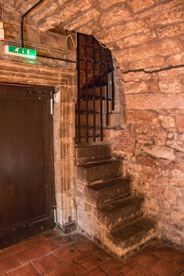
A narrow spiral staircase leads up from the west corner of the basement to what would have been the main hall above.
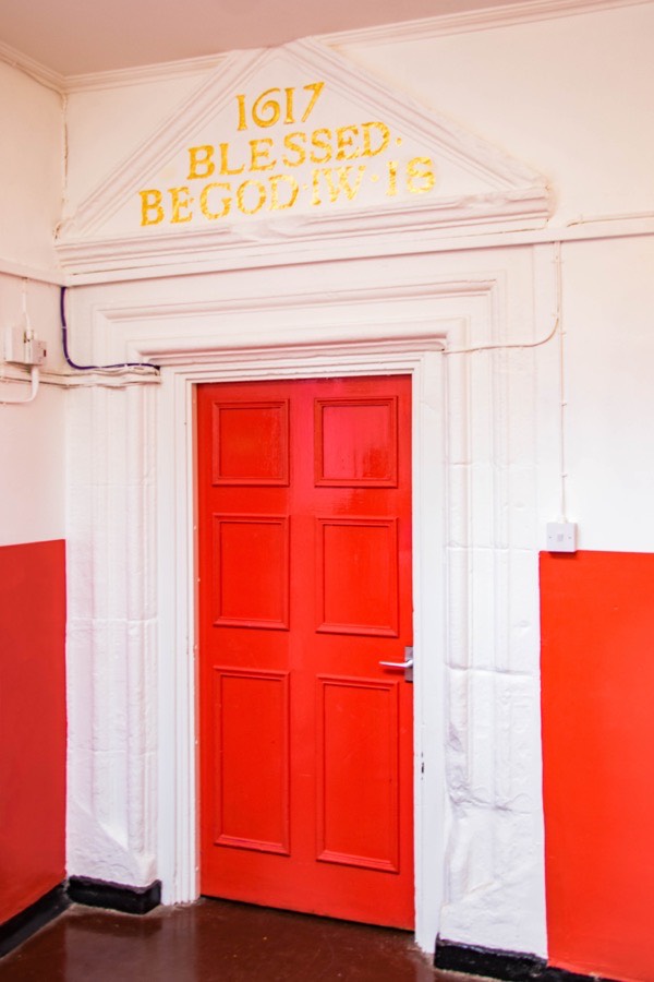
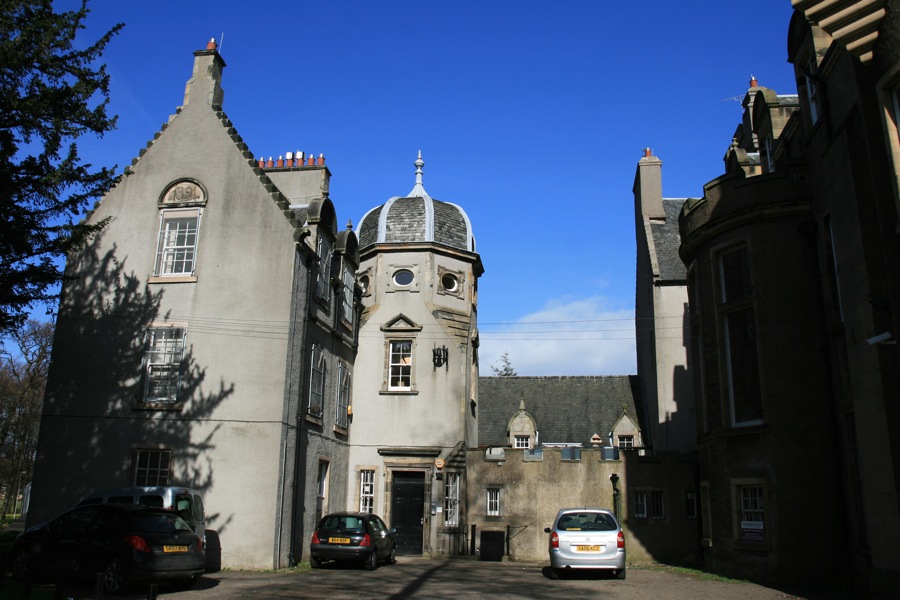
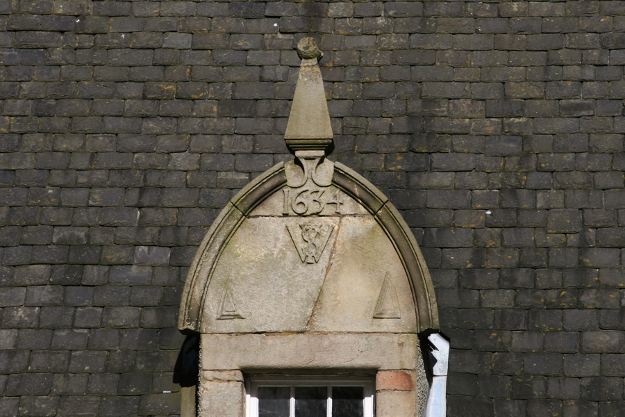
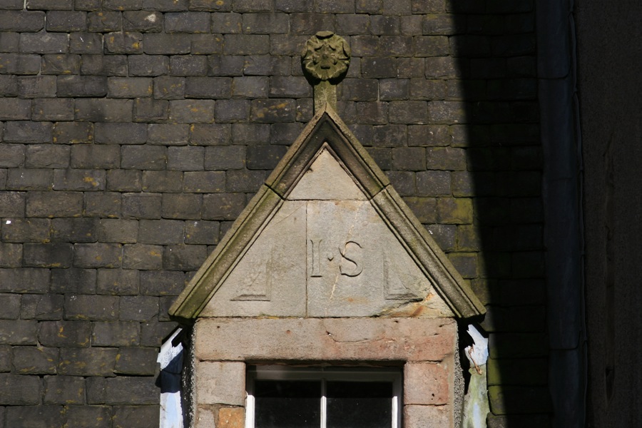
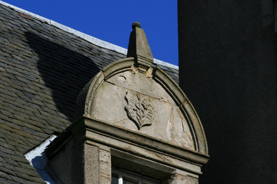
At some point in time the tower was extended to the north-west with the addition of a projecting wing on the eastern end of the north wall, creating an L-plan structure. A stair tower was added in the re-entrant angle, although when this happened is not clear. In 1617 a grand new doorway was added to the stair tower, over which was a pediment carved with the date, the phrase “Blessed be God” and the initials IW and IS for James Winram and his wife Jean Swinton. Due to later extensions this doorway now in now entirely internal.
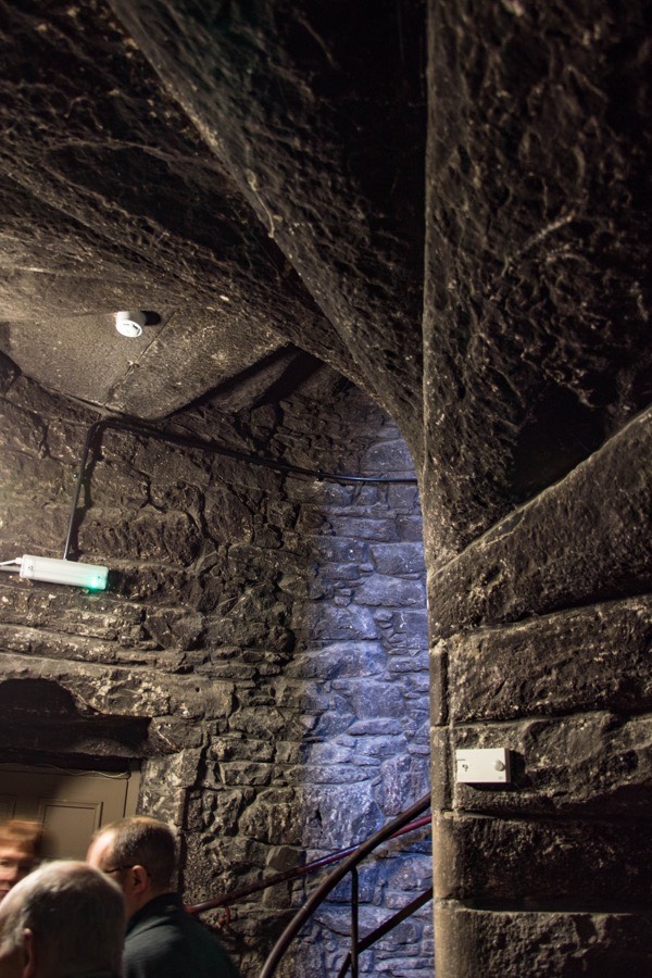
Through this door is the wide spiral staircase which gave access to the upper floors.
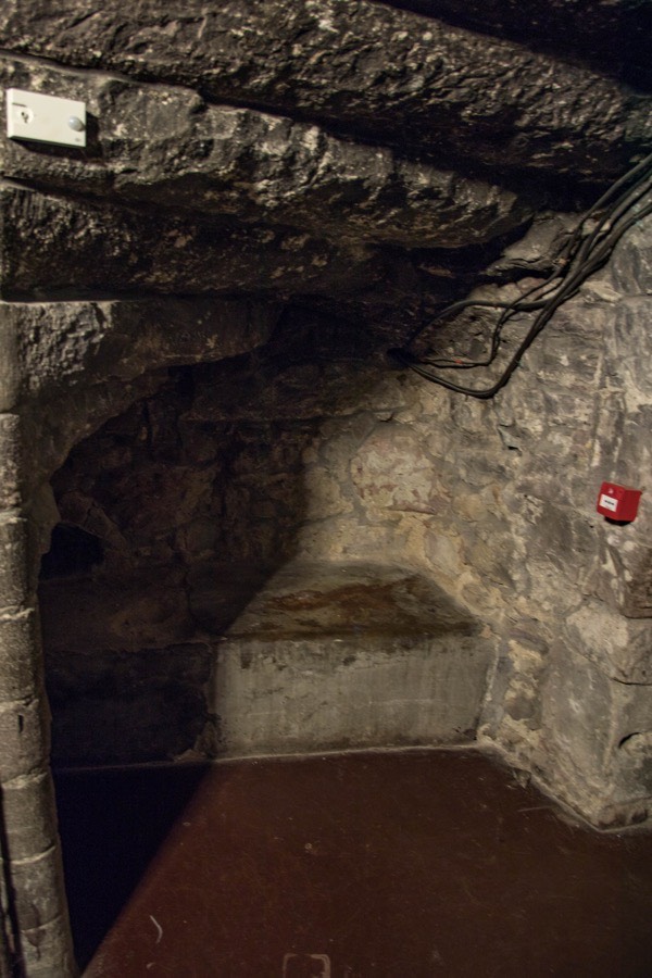
Under the staircase is a small stone ledge which is said to have been used as a bed by a guard, although this may well just be supposition.
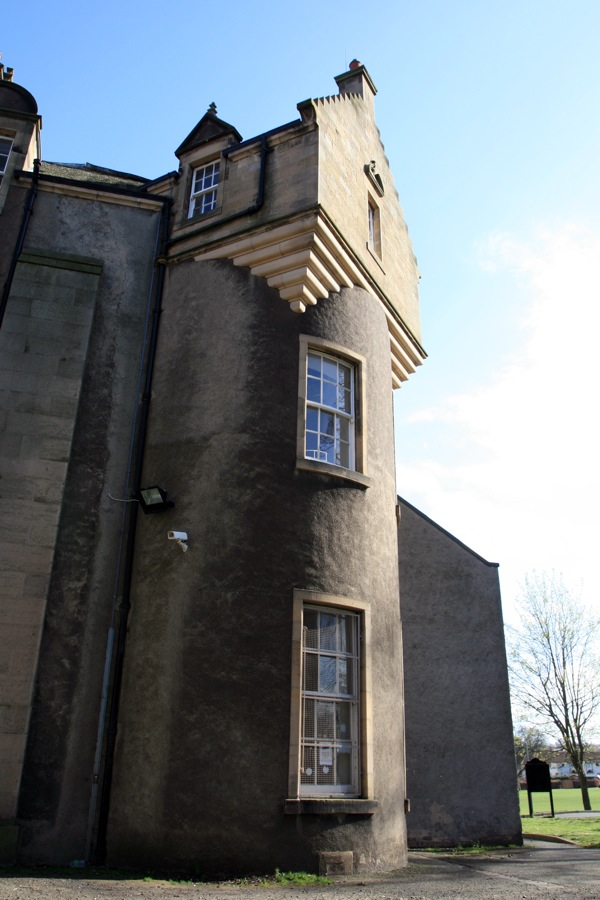
Throughout the 19th century signficant additions were made to Inch House for the then owners the Gilmour family, obscuring much of the fabric of the re-entrant angle of the older building.
Today the house is used as a Community Centre.