
No-one is sure exactly when the keep of the Grange of St. Giles was built, but it is thought to date back to the 12th century. Around 1112 Alexander I built a church to the south of the Burough Loch (now The Meadows) and dedicated it to St. Giles. At the time this area was a wild marshland isolated outside Edinburgh, and separated from it by the loch.
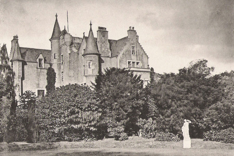
Associated with this church was a farmhouse, or grange, which consisted of a stone-built keep three storeys in height, with two turrets and a battlemented roof. And that is more or less all that is known about the original fortified building.
In 1335 The Grange passed from the church into private hands, and by the 16th century it had been bought by the Cant family, who kept the estate for 131 years.
The tower most probably formed the core of what became Grange House, which expanded over the years with extensions and improvements. A stone lintel over the original doorway is dated 1592, while coats of arms found in the outbuildings were dated 1613 and 1674.
In 1631 John Cant sold the estate to William Dick, the first in the line of the Dick-Lauder family who would own the property into the modern era. Major changes were made to the house by Sir Thomas Dick Lauder in the early 19th century, and the layout of the grounds was remodelled as can be seen from the Ordnance Survey maps and the Feuing Plan.
By the early 1930s Grange House was rather neglected and lay empty for a number of years. The cost of restoration (£20,000) was too high, and the house was demolished in 1936.
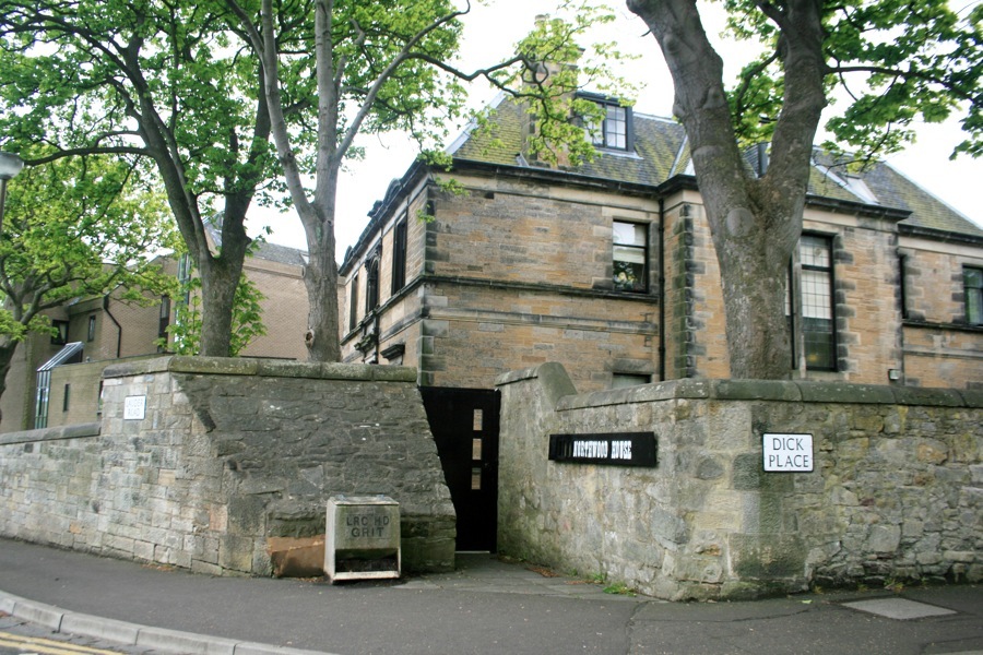
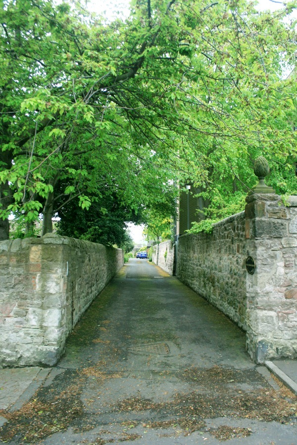
However, there are still many traces of the property visible today. The outer wall of the main estate can be seen in several places, running from the junction of Dick Place and Lauder Road down to the entrance to West Thorn (now flats), and around the corner into Grange Loan. Indeed the original entrance to Grange House can still be seen at Lauder Road’s corner with Dick Place, with the original gateway bricked up with a coal store and a small entrance gate.
In the early 1960s there were still two 17th century outbuildings remaining at the end of Lauder Loan, possibly estate offices and stables.
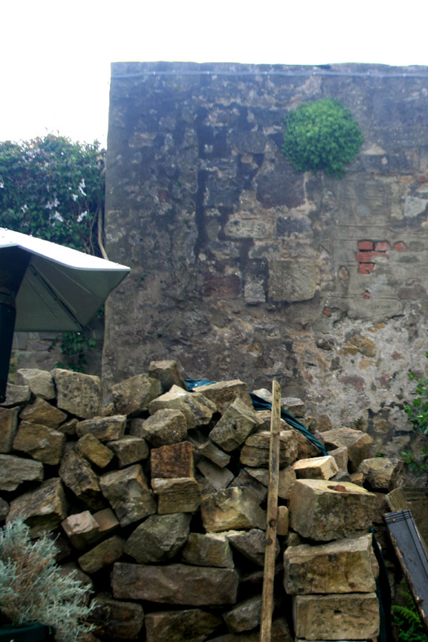
However these were demolished in the late 1960s or early 1970s, and the rubble is still visible in the garden of one of the new houses, as is a section of the original garden wall.
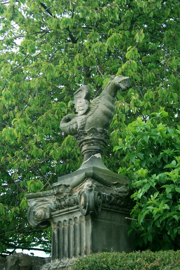
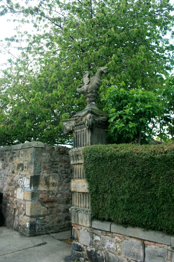
Along Grange Loan are two stone wyverns – mythical dragon-like beasts – which were taken from the house’s gateposts. One stands at the eastern corner of the Grange House plot, next to West Thorn, and the other stands at the western corner where Lovers’ Loan opens out onto Grange Loan.
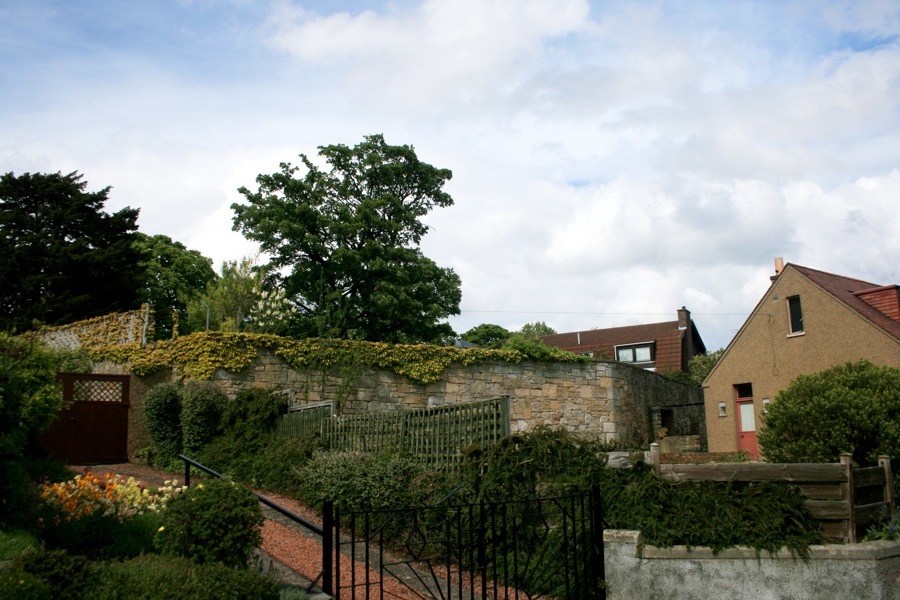
The site of Grange House was at the top of what is now Grange Crescent, and the remains of some of the old house’s garden walls can be seen behind the new houses.
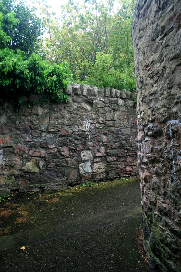
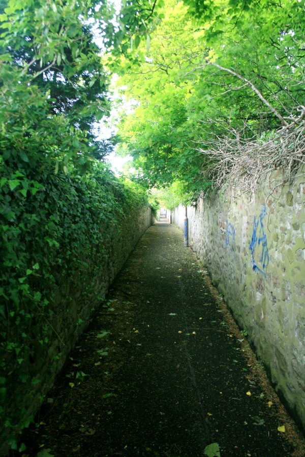
The wall on the east side of Lovers’ Loan appears to be the original boundary of the main plot.
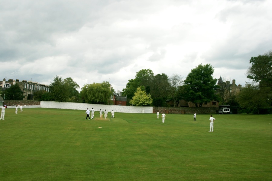
While looking west from the lane over the cricket pitch it’s possible to see the boundary wall for the larger plot shown on the Feuing Plan.
As well as these features remaining in-situ, several artefacts still exist in other parts of the city. A stone bench known as the Monk’s Seat was removed from the gardens and now stands in the gardens of Huntly House on the Royal Mile. The seat back is made from a lintel which was part of a house in old Bank Close which was built in 1589 and demolished in 1834.
Also at Huntly House is one of two sundials removed from Grange House. The other sundial now stands in the garden of 8 Seton Place. The bowling green of Grange House had a small statue at each of its four corners, and one of these statuettes also made its way to Huntly House.
Over the centuries the house has been connected with some important names in history. Bonnie Prince Charlie and Sir Walter Scott were both visitors, while the estate was owned for a time in the 16th century by John Napier, the inventor of logarithms.
Alternative names for Grange House
The Grange House; Grange Keep; Grange of St. Giles; Sanct Geilie-grange; Sanctgeligrange
Where is Grange House?
Grange House is in the parish of Edinburgh and the county of Midlothian.
Grid reference: NT 2596 7167
Lat / long: 55.93178669, -3.186171087
