
Although nothing of it now remains, Braid Castle stood above the Braid Burn from the 12th to the 18th centuries.
The first recorded owner of the lands of Braid is a Sir Henry, or Henri, de Brad, or de Brade, who is named as sheriff of Edinburgh in 1165 and 1200. He was probably descended from a Flemish knight named Richard de Brad (or de Breda) who came to Scotland with David I.
Henry owned lands from Braid right down into the Pentlands, and Bavelaw Castle seems to have been another of his properties, as in the early 13th century he is recorded as having granted the lands of Bavelaw to Holyrood Abbey.
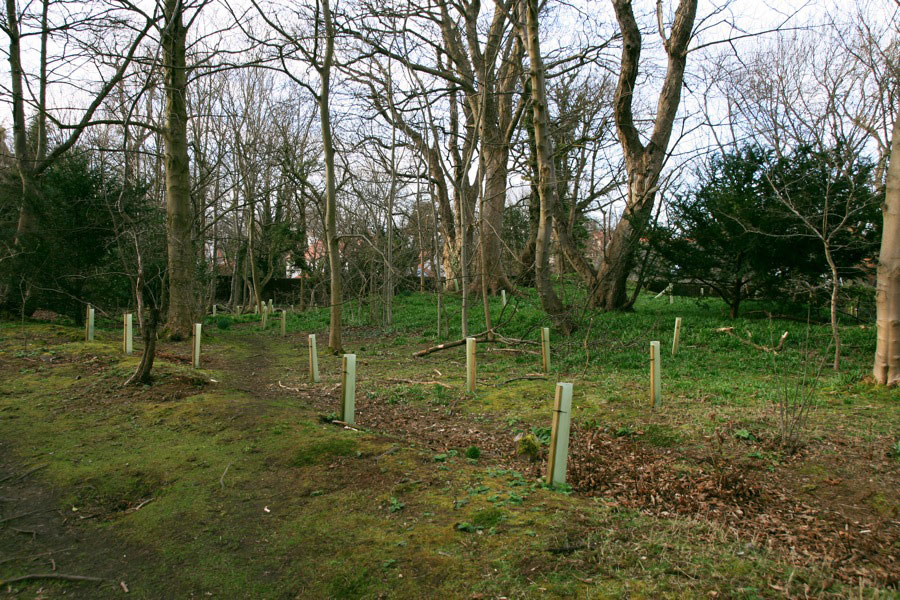
The exact location of Braid Castle isn’t known. One proposed site is Midmar Paddock, an open area of flat ground at the end of Hermitage Drive. However rig and furrow cultivation covering this area has been identified from aerial photographs, so it seems unlikely that a castle could have stood here for hundreds of years throughout the medieval period. Given that this site is also overlooked by Blackford Hill, it does seem an unusual spot for an early castle.
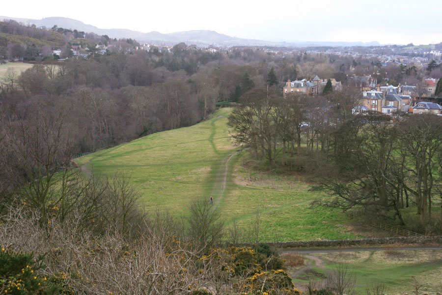
A more likely site seems to me to be on the rocky cliffs above the 18th century Hermitage of Braid House, and one reference states that Henry de Brad built a tower house on the crags above Hermitage House, which was later extended and of which all that is left is a large doocot and the remnants of a walled garden.
A section wall runs down the steep rocky crags, and doesn’t have the look of a garden wall. Although it isn’t particularly thick, it’s position on the rock face suggests it’s defensive.

The doocot is thought to have been built in the late 17th century, so pre-dates Hermitage House and was therefore probably associated with Braid Castle. It is the second largest doocot in Edinburgh, and has 1965 nesting boxes.
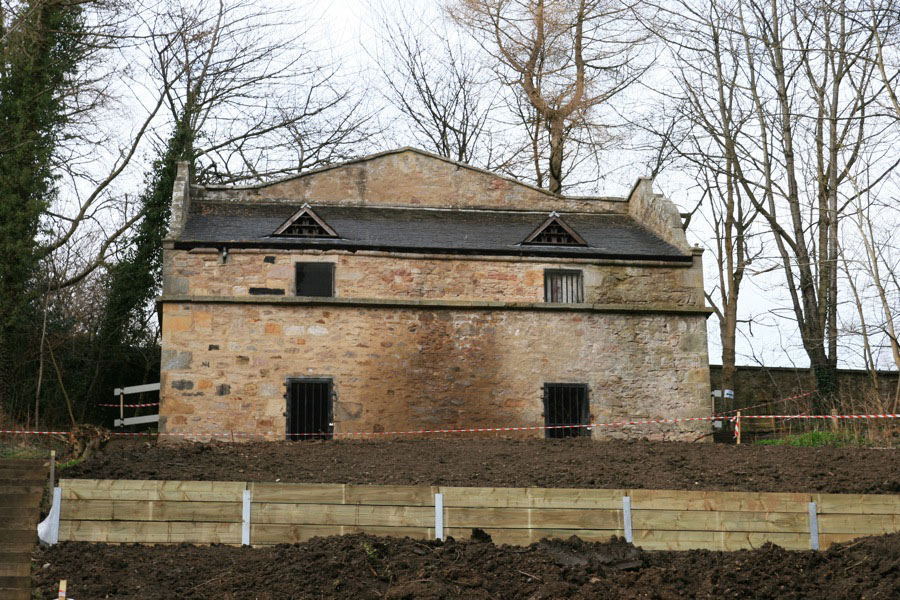
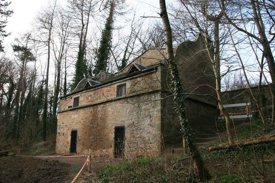
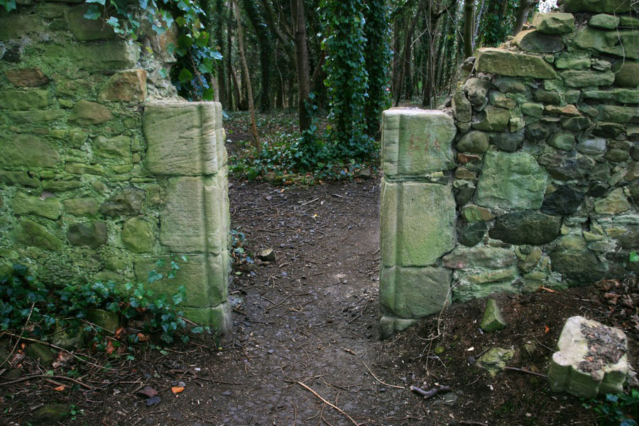
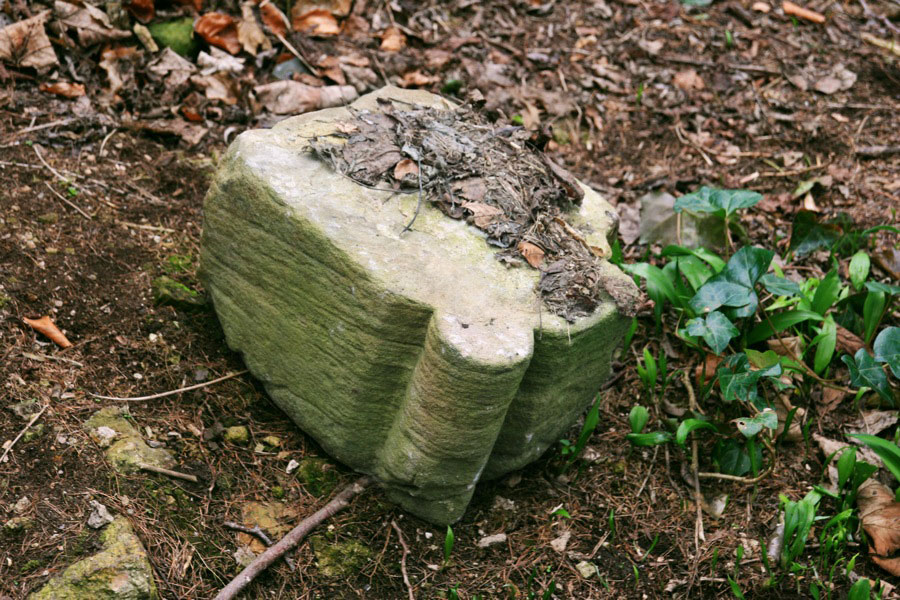
The position of the doocot certainly suggests that a location on the crags for Braid Castle is much more likely than in Midmar Paddock. The remains of the walled garden include parts of a carved stone doorway which it’s tempting to suggest looks more like a 16th or 17th century castle or house doorway than a garden entrance.
The lands of Braid were apparently owned by the de Brad family until 1305, after which it’s unclear who the owners were. But by 1485 they were owned by James Fairlie of Braid, and the Fairlie family continued to own them until 1631, when Sir Robert Fairlie sold Braid to Sir William Dick, later styled Sir William Dick of Braid.
Following Sir William’s death in 1655, the Exchequer seems to have sold “the lands and barony of Braid, with the manor places, houses, biggings, yards, orchards, barns, byres, stables, dovecots, meadows, muirs, marshes, mill, mill-lands, multures, sucken, sequels and whole pertinents thereof” to a John Brown of Gorgie Mill.
Early in the 18th century a new house was built on the Braid estate, and this probably marked the end of Braid Castle. Interestingly on John Adair’s map of Midlothian from around 1682 a large house or castle named Bread is shown on the north bank of the Braid burn, to the west of a walled garden.
However on Richard Cooper’s updated 1735 version of Adair’s map, a new property named Hermitage has appeared to the east of the older building. This would appear to confirm the crags above the Hermitage of Braid as the most likely location for Braid Castle.
In 1772 the lands of Braid were bought by Charles Gordon of Cluny, and in 1785 he commissioned Robert Burn to build a new house, Hermitage of Braid House.
The Braid estate remained in the Gordon family until 1937, when a John McDougal gifted the estate to the City of Edinburgh, buying it from the Cluny trustees. It is now a Local Nature Reserve run by the City of Edinburgh Council.
Alternative names for Braid Castle
Bread


