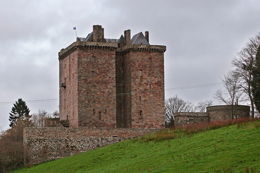
Borthwick Castle
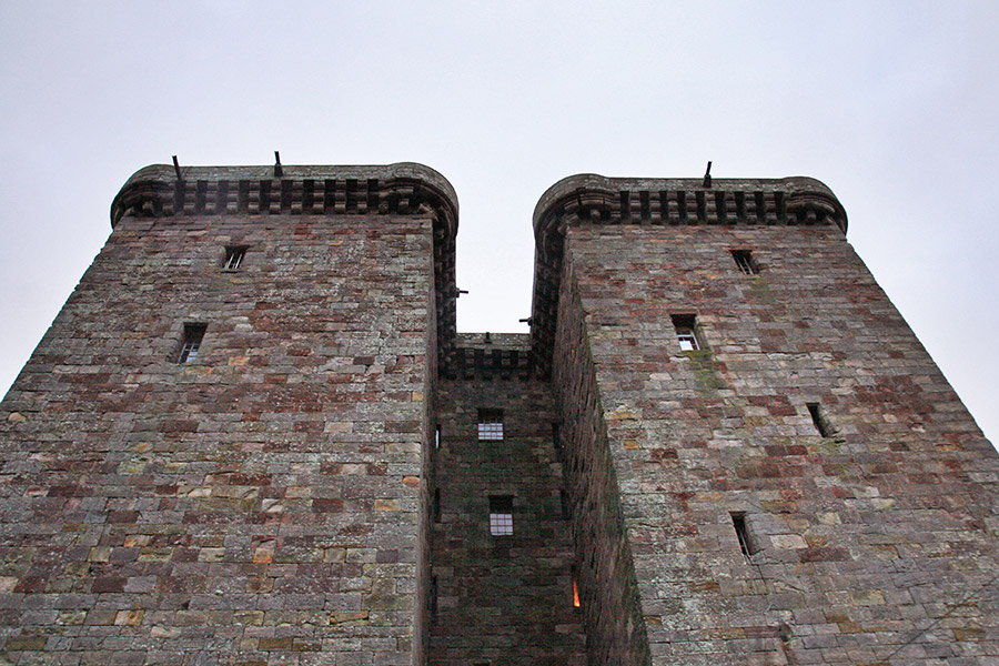
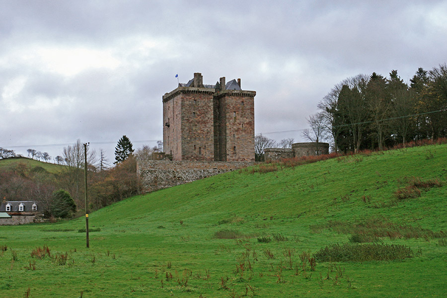
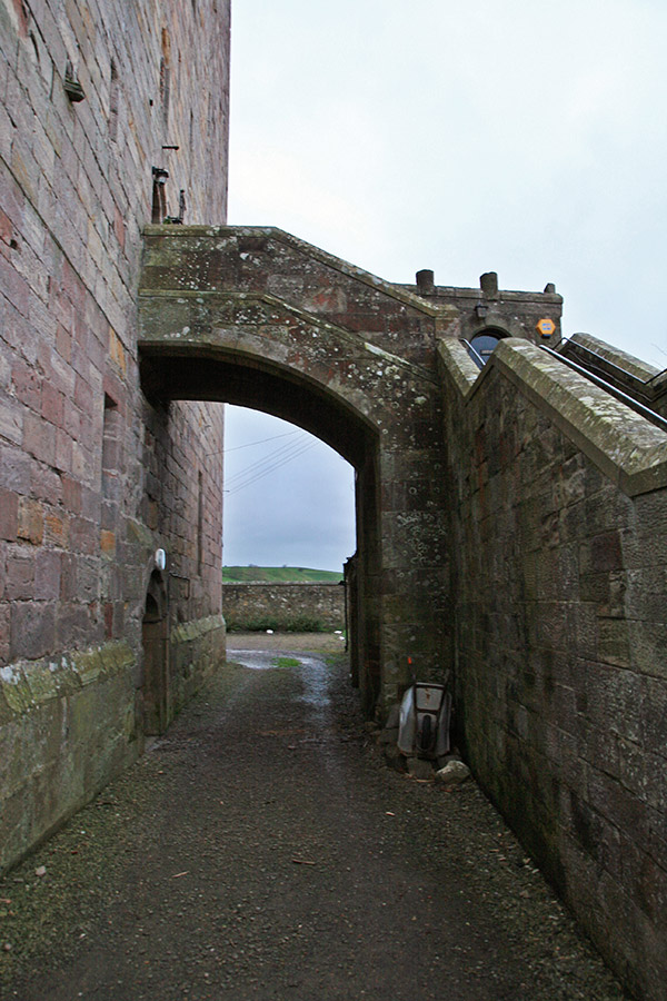
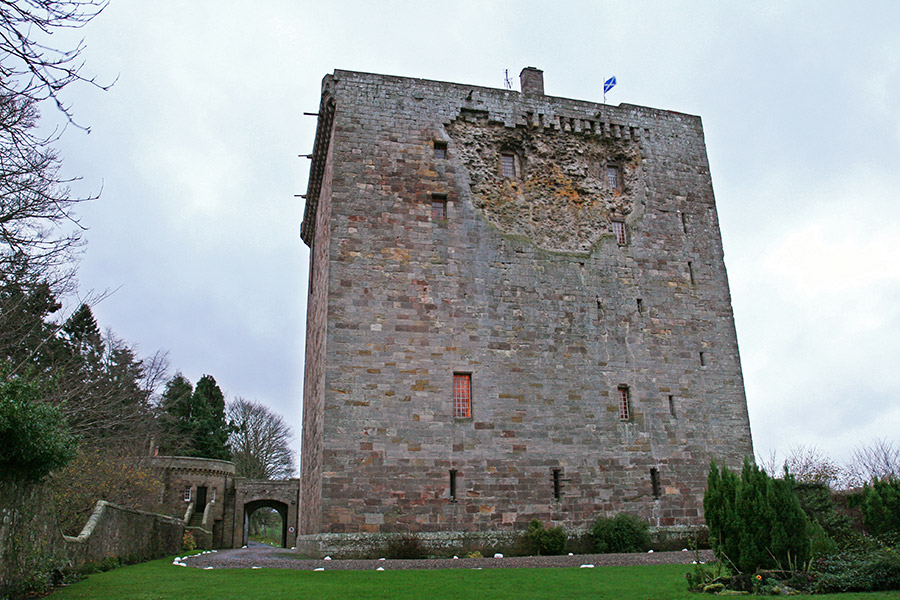
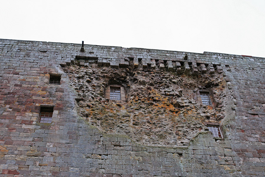
Built in 1430, Borthwick Castle remains largely unchanged, although it has undergone some restoration over the centuries. The main rectangular block features two full-height protruding towers, and the whole structure is surrounded by a wall strengthened with towers.
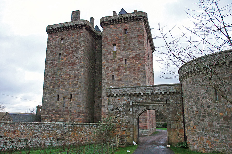
The castle occupies a raised position, and is built on the site of the motte of Lochorwart. Evidence of the motte can still be seen in the form of terracing to the east measuring around 4.0 metres wide by around 1.3 metres high.
In the 15th century Elizabeth Hay, daughter of Sir William Hay, of Locherworth and Yester, married Duncan MacDowall. In 1440 Duncan’s father, Dungall MacDowall, resigned his share of Yester, Duncanlaw and Morham to his son
In 1450 John de Borthwic acted as prolocutor in a claim by John Lindsay of Dunrod that his ancestors had held the “Lyndesayis landis” which were part of the lands of Morham. An investigation by Thomas de Cranstoune, Justiciar of the King, found in his favour and Edmund Hay of Tallo was ordered to surrender the tower and lands to Lindsay. Later Lindsay accused Edmund Hay and his brother, Sir David Hay of Yester, of trying to dispossess him of the lands.
In July 1458 David Hay, Lord of Lochorwort and Yester, was involved in a dispute with Dame Marioun of Dowglas, prioress of Haddington, regarding the boundaries of the lands of West Hervystoun and the lands of Nwn Hervystoun and also of Oxtoun.


Alternative names for Borthwick Castle
Locharward; Locherret; Locherrt; Locherwart Castle; Locherworth; Lochorwart; Lochorwort; Lockarwart; Lohworuora; Moit de Lochorworth; Moit de Lochquhorat; Mote de Lochorwort; Mote Of Lochorwart
Where is Borthwick Castle?
Borthwick Castle is in the parish of Borthwick and the county of Midlothian.
Grid reference:NT 36990 59732
Lat / long:55.826577,-3.007513