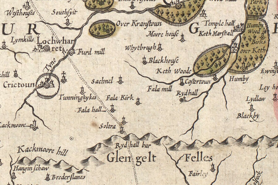

Hendrik Hondius, Amsterdam, 1630map image courtesy of NLS
Soutra was a property of the Borthwick family in the 16th century but nothing of it now remains.
In 1604 William Borthwick of Soutra was forfeited and the property passed first to the Pringles and later to the Maitlands.
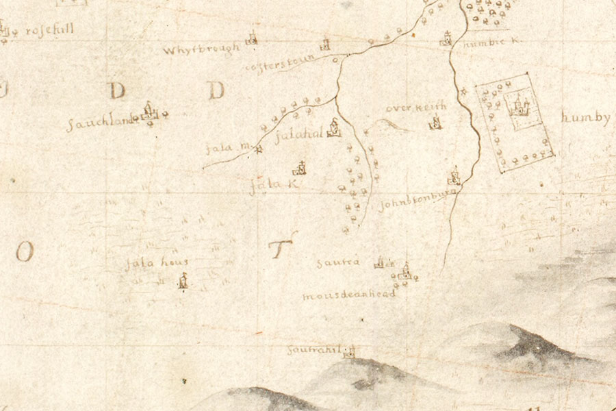
On an early 17th century map by Hendrik Hondius, based on Timothy Pont’s late 16th century map, two tower symbols are shown with the single name of Soltra between them. The second tower would seem to represent Soutrahill, another tower which stood somewhere on Soutra Hill. Soutra and Soutrahill are marked as two distinct towers on Adair’s late 17th century map of East Lothian.

John Adair, Edinburgh, 1682map image courtesy of NLS
The site is now occupied by the farmstead of Woodcote Mains, seemingly renamed for the mansion of Woodcot to the south some time after 1853 (since it appears as Soutra on the Ordnance Survey map surveyed in that year).
Alternative names for Soutra
Sautra; Soltra; Soutree; Woodcote Mains


