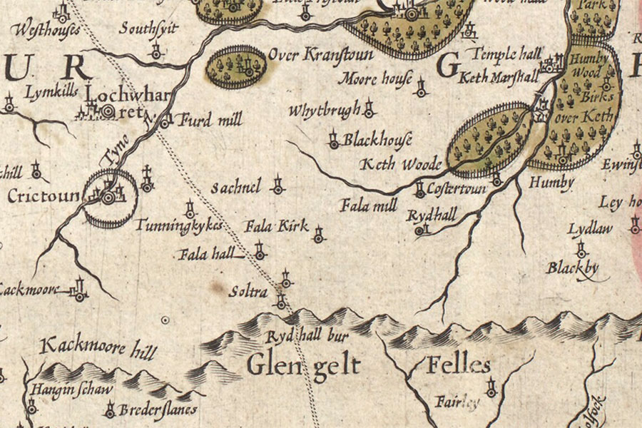

Hendrik Hondius, Amsterdam, 1630map image courtesy of NLS
Soutrahill was extant in the late 17th century however its exact location has now been lost.
On an early 17th century map by Hendrik Hondius, based on Timothy Pont’s late 16th century map, there are two tower symbols with the single name of Soltra between them.
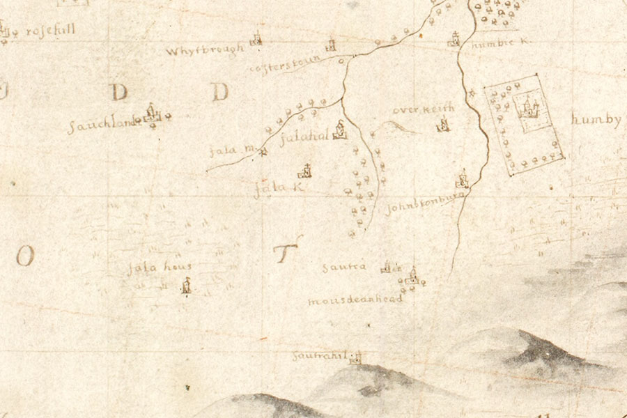
Soutrahill and Soutra are marked as two distinct towers on Adair’s map of East Lothian with Sautrahil located on the summit of a hill.

John Adair, Edinburgh, 1682map image courtesy of NLS
Soutrahill may have been the location of one of a chain of beacons designed to warn of an English invasion in the mid-15th century. The first beacon was at Hume Castle which when lit would then be seen from the second at Edgarhope Castle. The third beacon was described as being on Soutra Edge which would in turn be seen from Edinburgh Castle.
Since all the other beacons were located at castles, and would presumably need to be protected to ensure they were ready to be used in the event of an invasion, it stands to reason that the beacon at Soutra Edge could also have been located within a castle however there is no specific reference to a castle in the parliamentary record regarding the beacons.
If the castle was located on the summit of Soutra Hill itself it would appear that the view from Edgarhope Castle would be obscured. Soutra Aisle, around 1km to the south-west, seems to be within the sightline however and is also slightly more elevated than Soutra Hill. Soutra Aisle is the remains of a 12th century religious complex and just to its east was the site of the associated village of Soutra. This may be the most likely location for the tower of Soutrahill however this requires more research.
Alternative names for Soutrahill
Sautrahil; Soltra; Soutra Edge; Soutra Hill; Soutree Hill


