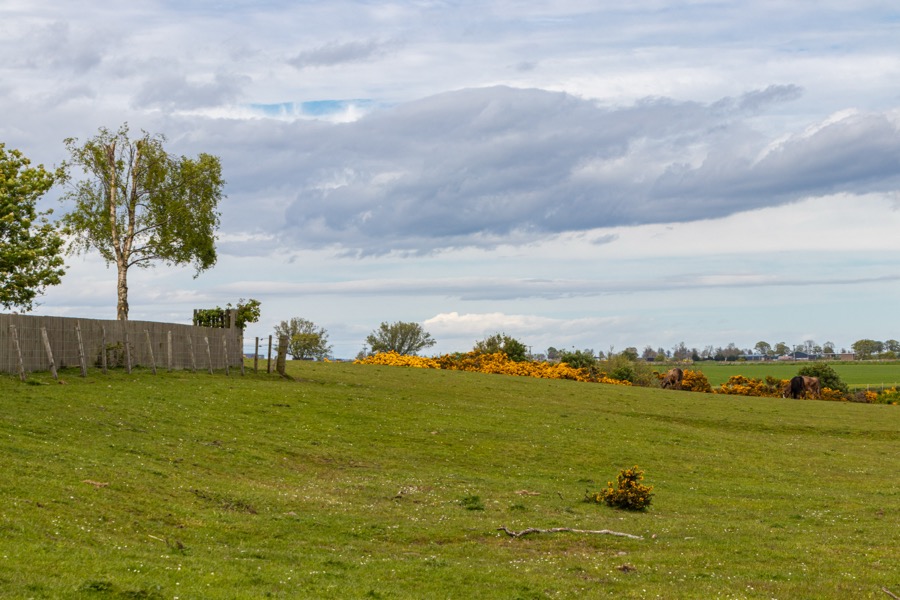
Whitehills was a castle which was in ruins by the 17th century but nothing of which now remains.
In some sources the Castle of Whitehills seems to have been conflated with Kinnell Castle which stood on the north bank of the Lunan Water, but both are marked on Pont’s late 16th century map.
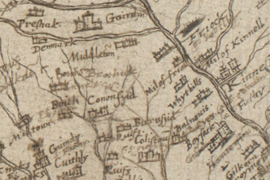
Timothy Pont, c. 1583 – 96map image courtesy of NLS
Little seems to be known about the castle beyond the fact that it stood on the south bank of the Lunan Water. In the early 16th century the lands of Quhythillis, part of the barony of Kinnell, were owned by James Ogilvie, 3rd Lord Ogilvie of Airlie, and remained with the Ogilvies until at least the mid-17th century.
The castle is said to have been in ruins by this time. In the late 18th or early 19th century the foundations of the castle were dug up by the tenant of Whitehills farm and the stone was apparently used to build “what was called the Stonehouse, in the Kirktown of Kinnell”, possibly the house which stands to the south-east of the kirk.
The area where the castle stood was said to look different after ploughing to the surrounding earth, and appeared as a rectangular cropmark visible on aerial photos. When this cropmark was excavated in 1990 ahead of the construction of a housing estate to the west it was found to have been destroyed by previous gravel extraction and the digging of a sewer pipe.
The mistake of identifying it as the site of Kinnell Castle was repeated at this time and presumably informed the names of Kinnell Place and Kinnell Gardens for the streets closest to the site of the Castle of Whitehills.


Alternative names for Castle of Whitehills
Quhithillis; Quhythill; Quhythillis; White Walls; Whitehills; Whythillis; Whythills