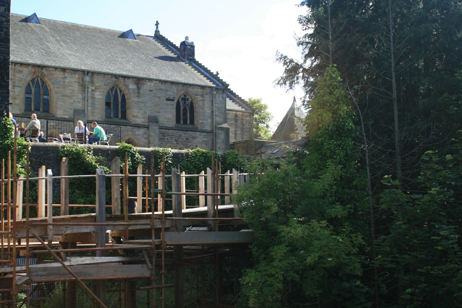
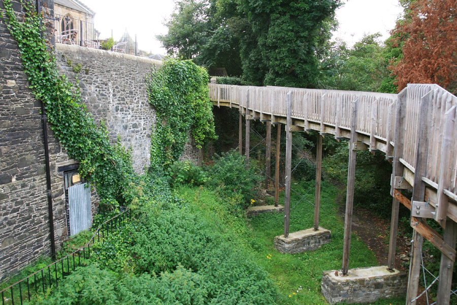
Peebles Castle
Peebles Castle was built in the 12th century, and stood on a promontory where the Eddleston Water meets the River Tweed.
The castle has long gone, but a church now stands on the raised mound which would have been the motte of the castle.
It was one of a series of towers along the Tweed valley, each of which was visible from the next. Elibank would signal to Holylee, Holylee to Scrogbank, Scrogbank to Caberston, Caberston to Bold, Bold to Purvishill and then on to a continuing chain from Innerleithen to the north-west.
The signal would then pass along to Traquair, Grieston, Ormiston, Cardrona, Nether Horsburgh, Horsbrugh, Haystoun, Peebles and on to Neidpath. From Neidpath it would continue to Caverhill, Barns, Lyne, Easter Happrew, Easter Dawyck, Hillhouse, West Dawyck, Dreva and on to Tinnis.


Alternative names for Peebles Castle
Castle Hill; Castlehill; Castlehill of Peebles
Where is Peebles Castle?
Peebles Castle is in the parish of Peebles and the county of Peeblesshire.
Grid reference:NT 2502 4038
Lat / long:55.651190,-3.192992