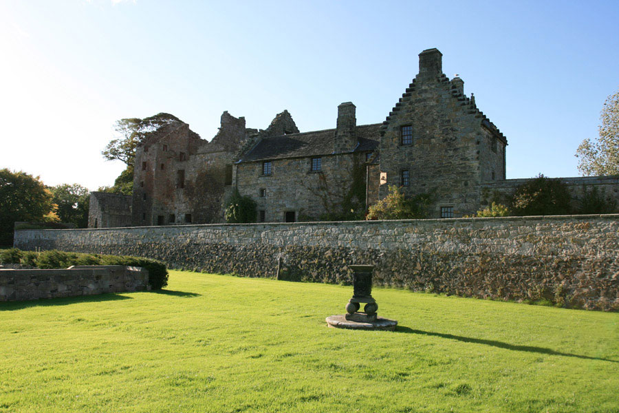
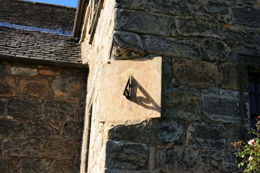
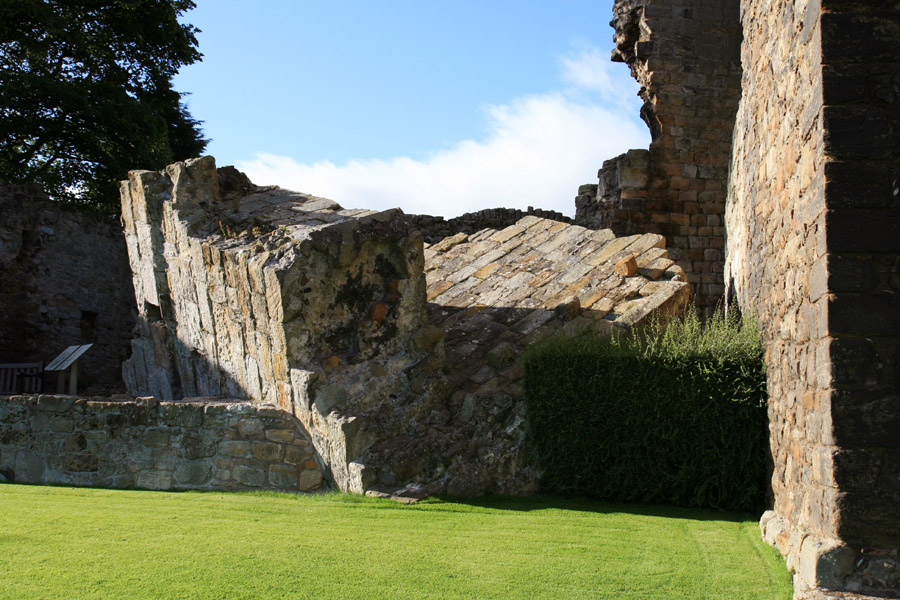
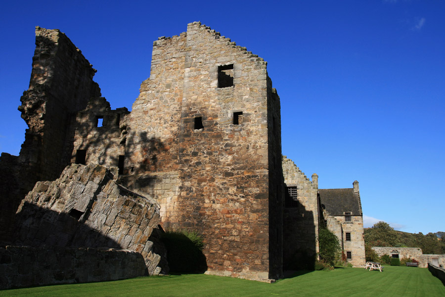
Aberdour Castle dates back to the 12th century but was remodelled and extended in the 16th and 17th centuries.
In 1342 Sir William Douglas of Kincavil, Lord of Hermiston, was granted the barony of Aberdour in 1342 by John Randolph, 3rd Earl of Moray.
Aberdour Castle is in the parish of Aberdour (Fife) and the county of Fife.
Grid reference: NT 19239 85469
Lat / long: 56.05523400, -3.29834960
Enter a starting point