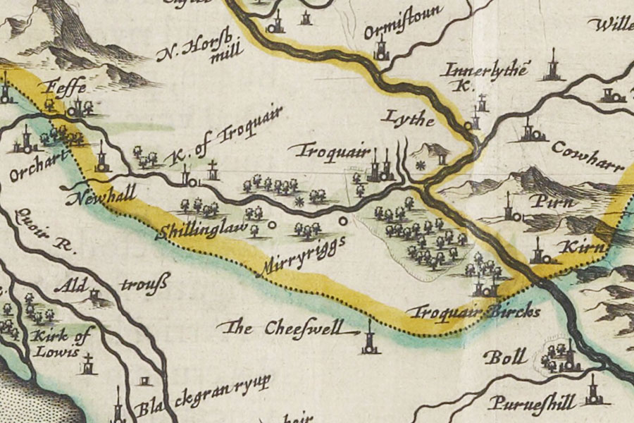
The Cheeswell
Twee-dail with the Sherifdome of Etterik-Forest called also Selkirk
Joan Blaeu, Amsterdam, 1654map image courtesy of NLS
Joan Blaeu, Amsterdam, 1654map image courtesy of NLS
A tower named The Cheeswell is marked on Blaeu’s mid-17th century map however its exact location is unknown. I have placed it close to the Cheese Well, a natural spring next to an old drove road from Yarrow to Traquair, for now pending further research.


Alternative names for The Cheeswell
Cheese Well
Where is The Cheeswell?
The Cheeswell is in the parish of Traquair and the county of Peeblesshire.
Grid reference: NT 35695 33575
Lat / long: 55.5915417015501, -3.02187478868897


