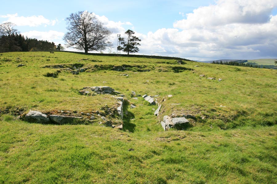

Torwoodlee broch stands in the corner of a fort, on a hillside high above the Gala Water.
The broch measures some 23 metres in diameter, enclosing a central area with a diameter of around 12 metres, meaning walls averaging some 5.5m thick. Extensive robbing of material, presumably for nearby dry stane walls or buildings, means the walls now only reach a maximum height of around 0.5m. The outer walls are faced with large blocks of stone.
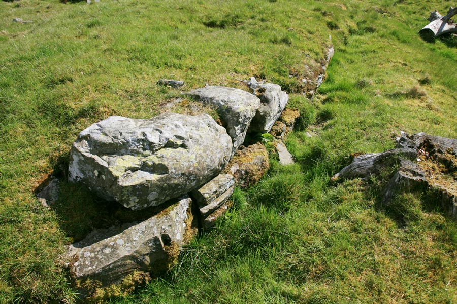
The inner walls are faced with smaller blocks, and the space between filled with rubble.
The entrance is on the east side, and is built from large square-cut stones. Since the prevailing wind here is westerly, this serves to protect the entrance from the lements. It is also at the lowest point of the slope on which the broch is built which would presumably help with drainage. An intramural chamber by the entrance was probably some form of guard room.
Within the thickness of the wall to the south-west is a chamber containing the remains of a staircase which would have climbed up inside the wall. It now only rises to a height of 3 or 4 treads.
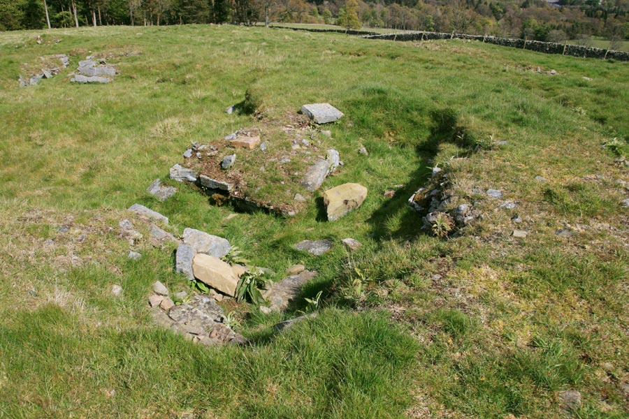
Surrounding the broch is a series of circular ditches and mounds, adding an extra level of defence. It occupies a position at the south-west corner of a fort, which itself covers the summit of the hill, measuring around 140m by 110m.
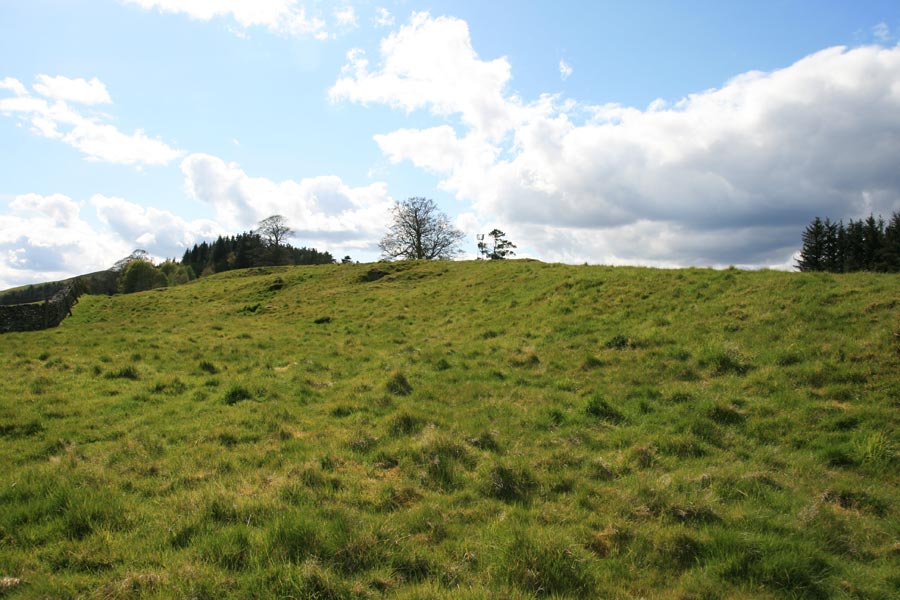
Torwoodlee broch also seems to be the terminus of an earthwork known as the Catrail, which stretches down the hillside to the south-east. Consisting of two continuous banks either side of a ditch, it is said to have run for approximately 80km, from Torwoodlee broch in the north-east of Selkirkshire all the way to the slopes of Peel Fell in the south-west corner of Roxburghshire on the border with England. The precise age and purpose of this remarkable feat of engineering are unclear.
The remains of the broch were discovered in the 19th century, and within the centre of it were found fragments of Roman pottery, glass, enamel and iron articles dating to the 1st century AD. Similar Roman material was found beneath the broch’s wall in 1950, suggesting that it was built in the 1st century AD.
To view a panoramic image of Torwoodlee broch, click on the image below (opens in a new window).

Where is Torwoodlee?
Torwoodlee is in the parish of Caddonfoot and the county of Selkirkshire.
Grid reference: NT 4655 3847
Lat / long: 55.636611, -2.851038
OS Map for Torwoodlee
References (books)
Edinburgh, 1899


