Urquhart Castle
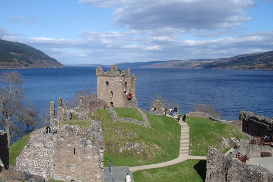
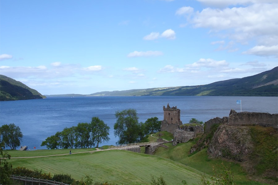
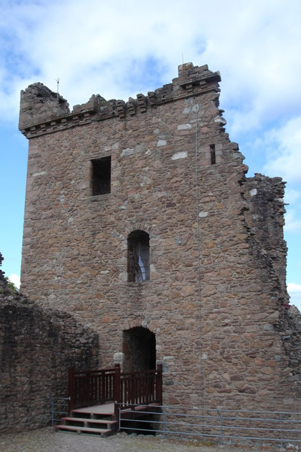
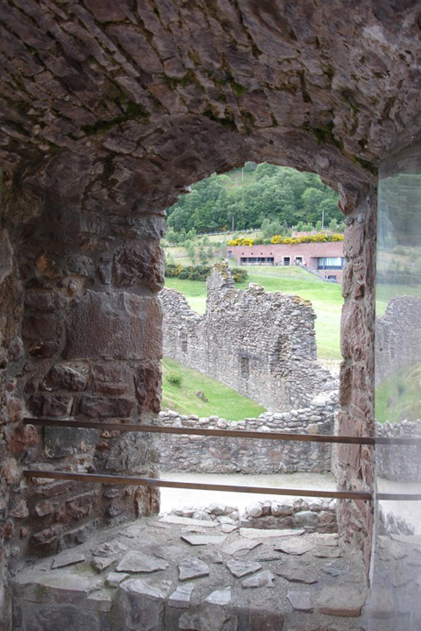
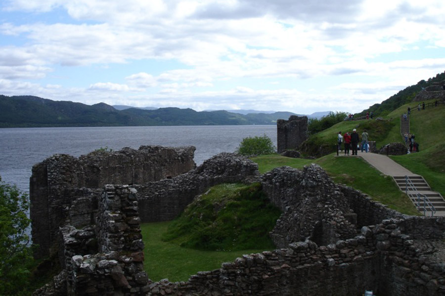
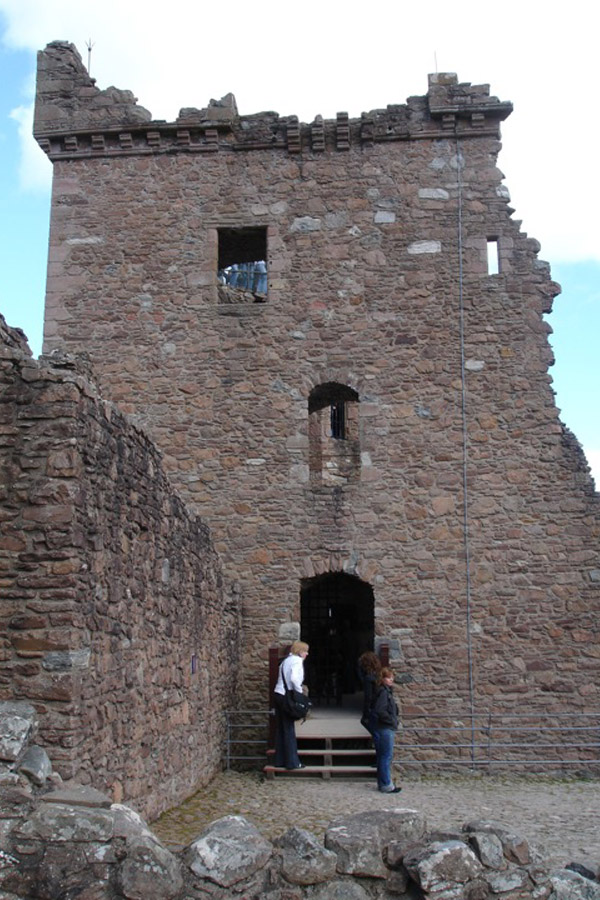
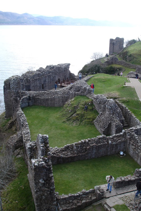
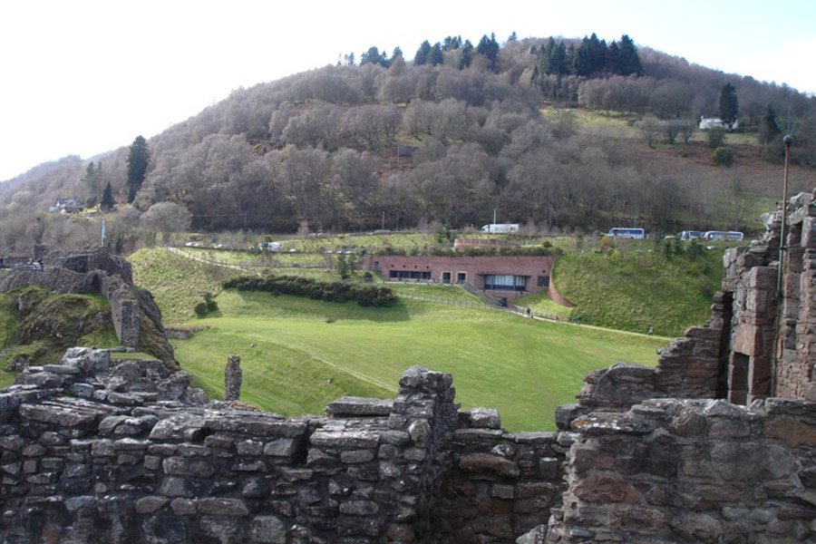
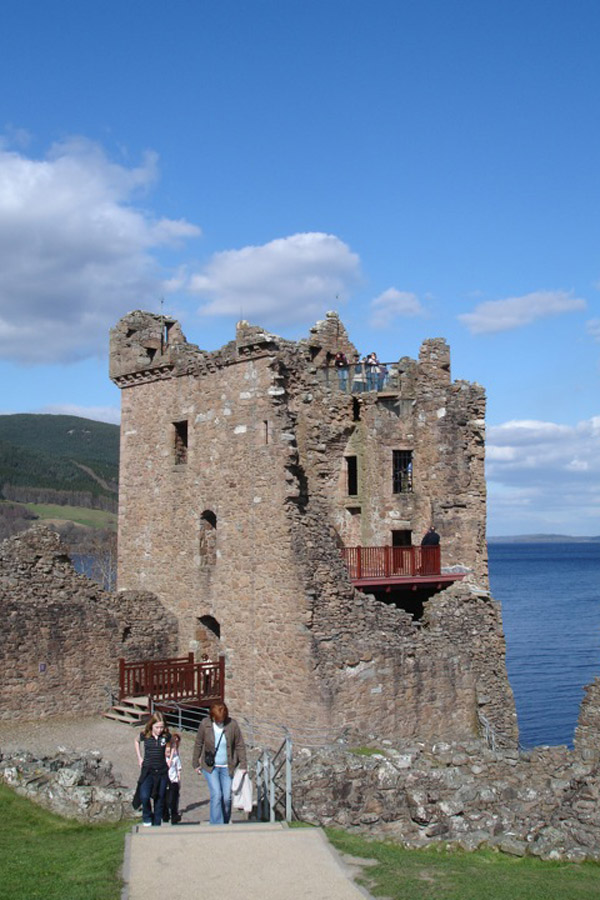
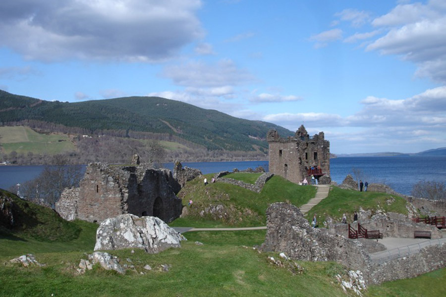
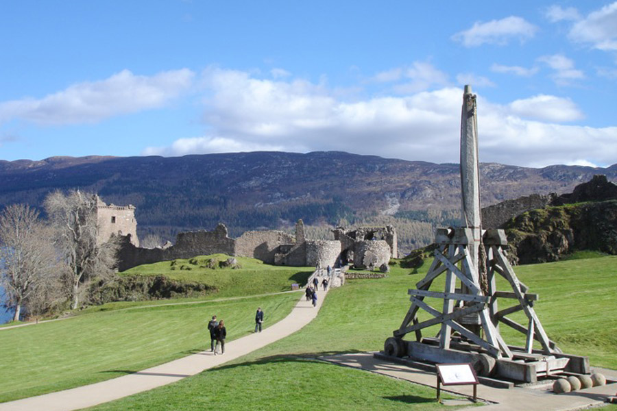
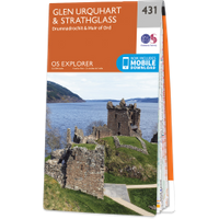
Urquhart Castle dates from the 13th century, and stands on the site of a vitrified fort on a spur of land sticking out into Loch Ness.

Urquhart Castle dates from the 13th century, and stands on the site of a vitrified fort on a spur of land sticking out into Loch Ness.
Urquhart Castle is in the parish of Urquhart and Glenmoriston and the county of Inverness-shire.
Grid reference:NH 5309 2864
Lat / long:57.32442117,-4.441664095

Enter a starting point


