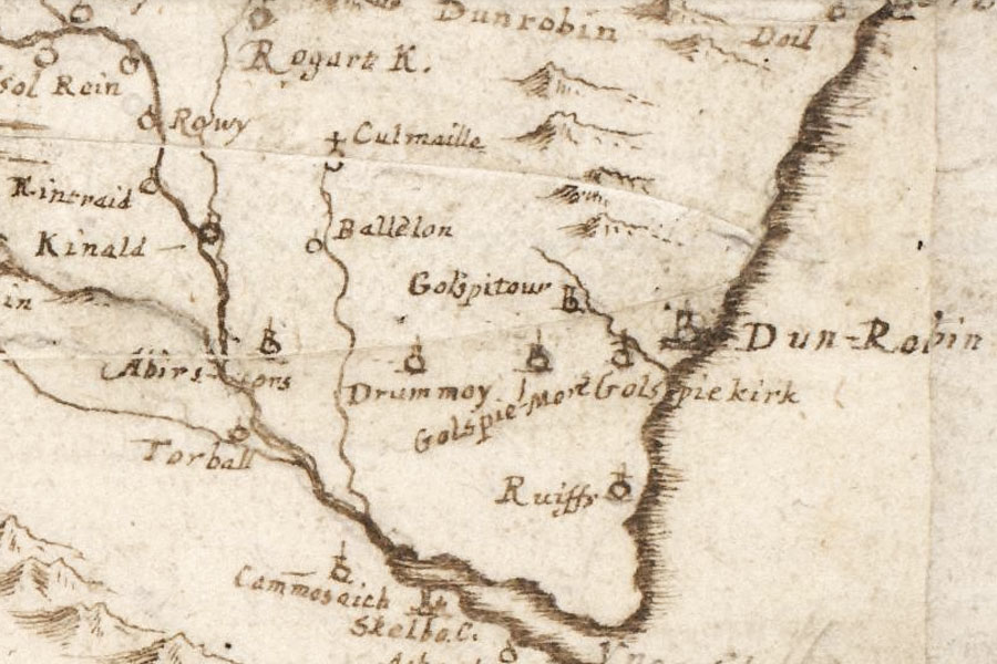
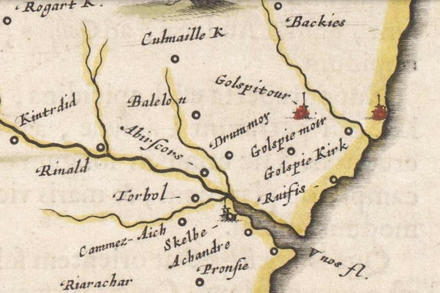
Golspie Tower


Alternative names for Golspie Tower
Golspie Tower Farm; Golspietour; Tower Farm
Where is Golspie Tower?
Golspie Tower is in the parish of Golspie and the county of Sutherland.
Grid reference:NC 8363 0086
Lat / long:57.98171100,-3.96951630