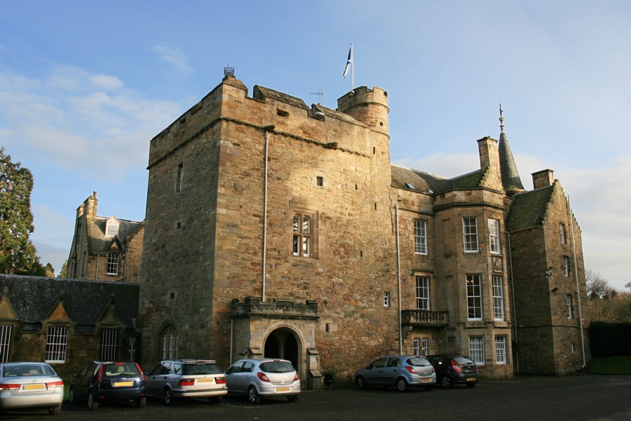
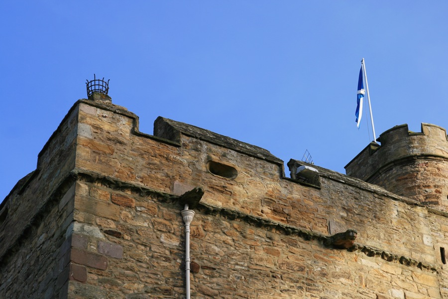
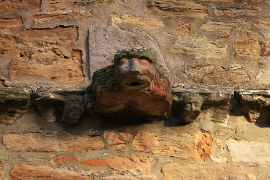
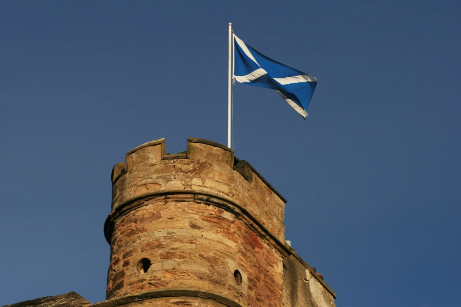
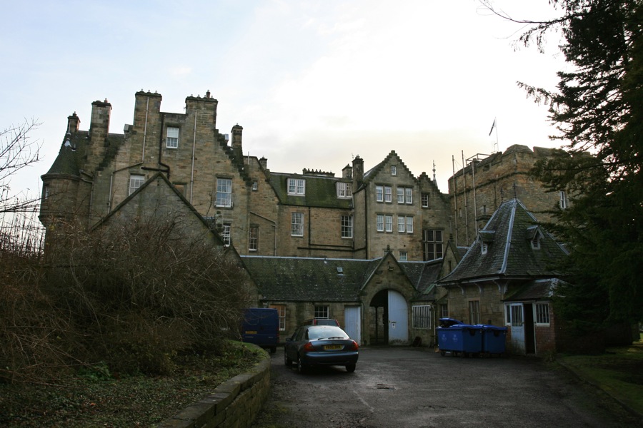
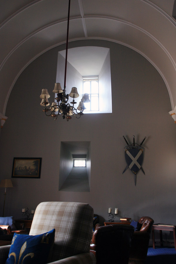
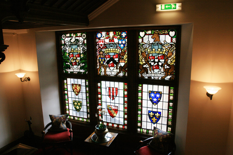
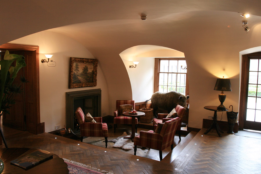
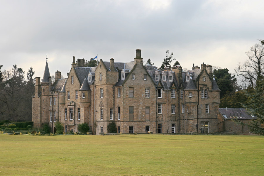
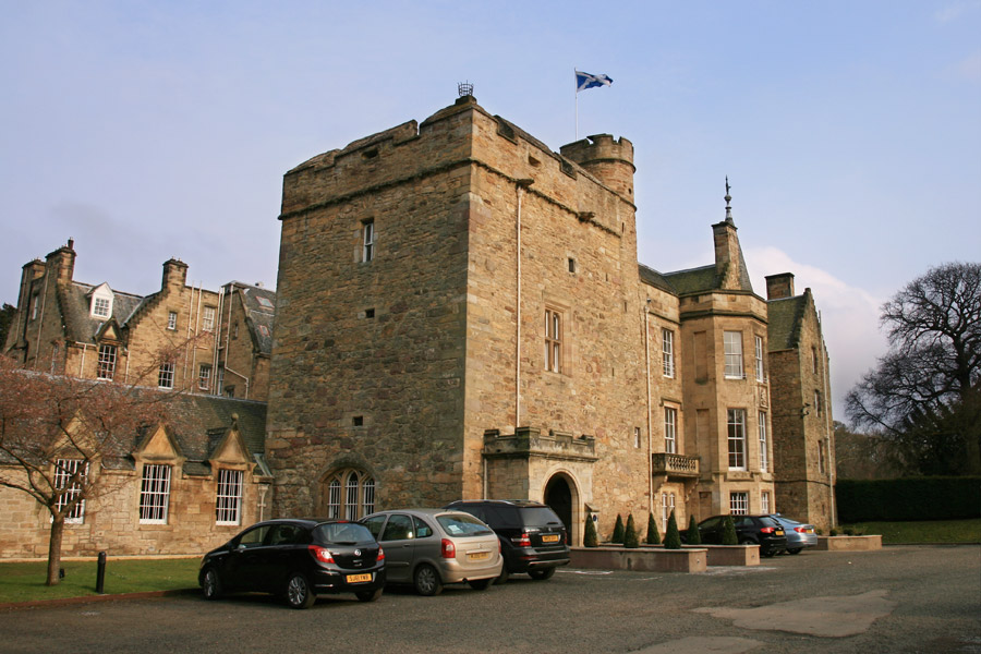
Carberry Tower


Alternative names for Carberry Tower
Carberry Castle
Where is Carberry Tower?
Carberry Tower is in the parish of Inveresk and the county of Midlothian.
Grid reference:NT 36308 69671
Lat / long:55.91601,-3.020822
Carberry Castle
Carberry Tower is in the parish of Inveresk and the county of Midlothian.
Grid reference:NT 36308 69671
Lat / long:55.91601,-3.020822

Enter a starting point


