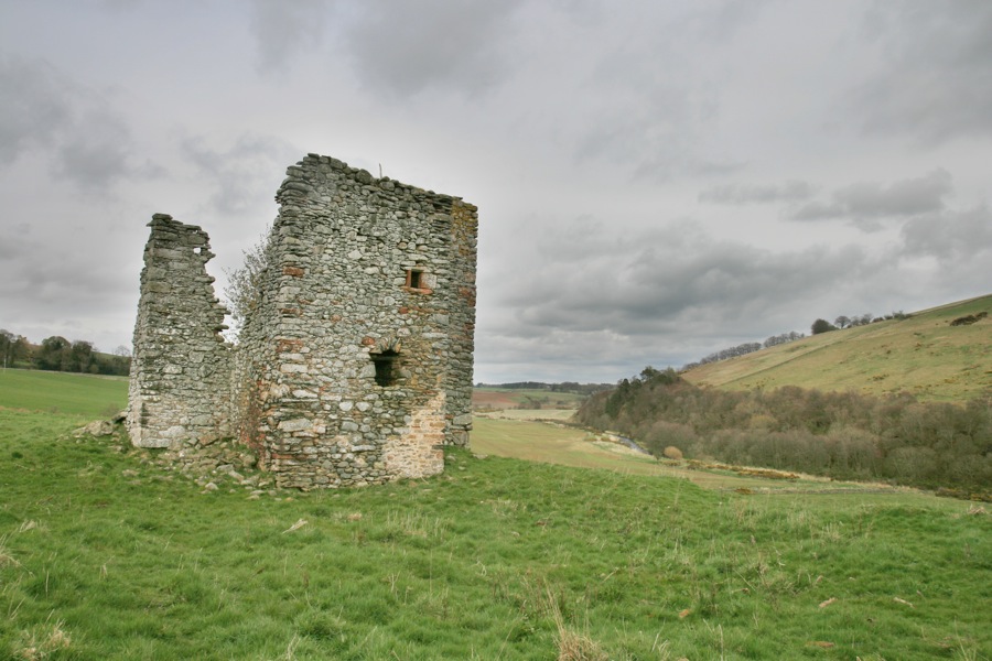

Old Thirlestane Castle is a ruined 15th century tower house built by the Maitland family, standing on a terrace above the Boondreigh Water.
One of the earliest mentions of the lands of Thirlestane occurs in a charter around 1140, when Hugh de Moreville grants the rent of Thirlestane to Elsi, later the Sheriff of Lauderdale. Elsi’s son, Alan, was known as Alan of Thirlestane.
There seems to have been an early castle here, as a Thomas de Thirlestane is said to have been born in Thirlestane Castle around 1200. His daughter, Avicia, married Sir Richard Maitland around 1250, and Thirlestane Castle became a Maitland property. References to Thirlestane Castle being 13th century in date suggest that Maitland was responsible for building or extending the castle. Either it was remodelled and incorporated into a later tower, or replaced entirely, as the present ruins have the appearance of a 15th or 16th century Border keep.
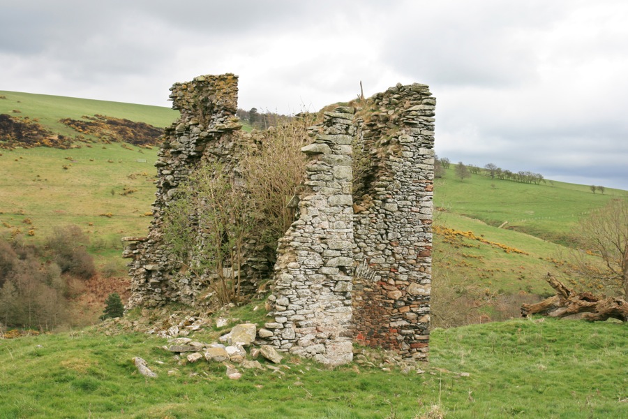
Rectangular in plan, the castle would have measured around 10.0m by 7.3m, aligned approximately south-west by north-east, with a small tower extending to the south containing a spiral staircase which gave access to the upper two storeys.
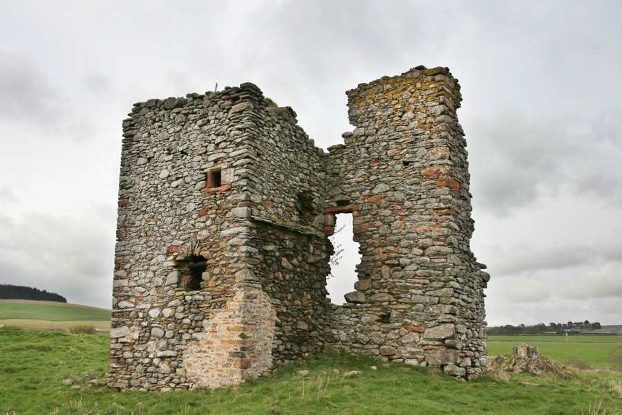
On the west side of the stair tower is what looks like a blocked doorway, possibly the original entrance.
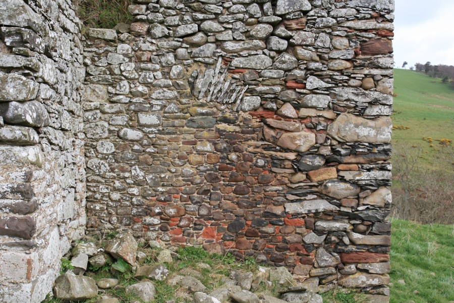
The lower storey was vaulted, and the walls were around 1.0m thick. The remaining wall has a large window with a dressed surround. At the west end of this wall is a circular niche which may represent the remains of an old spiral staircase for descending to the vaulted basement.
The Maitlands began rebuilding another of their properties, Thirlestane Castle, in 1585, and moved there permanently in 1595. Whether or not Old Thirlestane was completely abandoned at this time is unclear, as it is still shown as a substantial castle, named Thirslstaine, in Joan Blaeu’s Atlas of Scotland, which was published in 1654 but based partly on Timothy Pont’s maps from the late 16th to early 17th century.
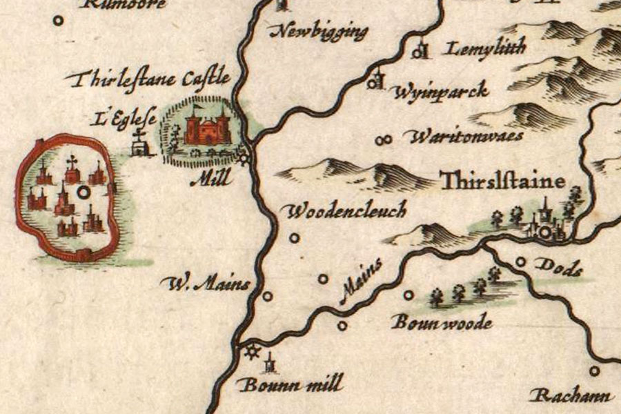
It is also marked on Herman Moll’s map of The Shire of Berwick, drawn some time before 1732 and published in 1745, appearing as Thirlstain, while the Maitlands’ new home of Thirlestane Castle is referred to as The Fort.

On William Roy’s Military Survey of the Lowlands, published between 1752 and 1755, Old Thirlestane Castle is shown as a group of five buildings, perhaps suggesting that it was still in use and noteworthy, while Thirlestane Castle is marked as Lauder Castle.
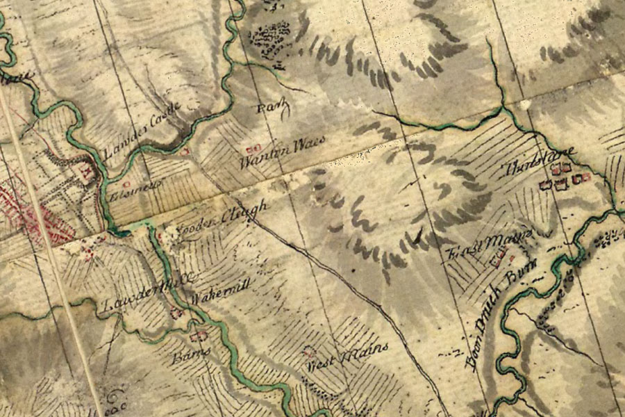
On the Armstrongs’ Map of the County of Berwick, published in 1771, Old Thirlestane Castle is called Thirlstane but marked as in ruins, while the new Thirlestane Castle is also now called Thirlstane, indicating perhaps that Old Thirlestane didn’t completely fall out of use until some time in the mid-18th century.
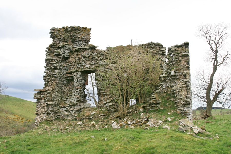
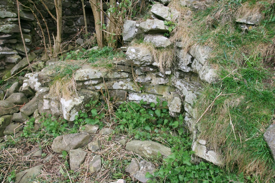
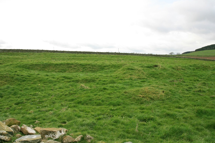
Today, only the south wall and the stair tower survive, rising to a height of around 8.0m. Traces of the east, west and north walls can be seen in the form of raised mounds in the ground, extending to the north. To the north-west of the castle are a series of lumps and bumps which clearly define other buildings.
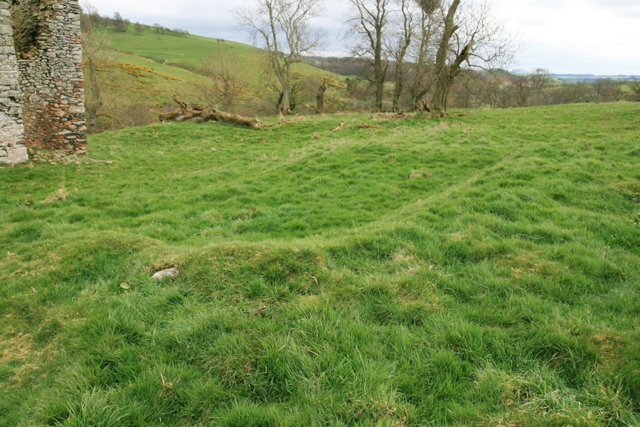
One of these banks extends west from the north corner of the castle, and then returns to the south-west enclosing a rectangular building in the north-west corner. It’s tempting to suggest that this is the remains of a courtyard wall, with an ancillary building butted up against the inside of it.
Alternative names for Old Thirlestane Castle
Thirlestane Castle; Thirlstain; Thirlstane; Thirslstaine


