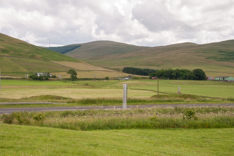

This motte and bailey near Abington is considered to be one of the best preserved examples in the region, and probably dates back to the 12th century at least.
Situated on the west bank of the River Clyde, the motte and bailey at Abington is one of a series of mottes running through the upper reaches of that river which also follow an old Roman road which was reused in medieval times. As such, the motte was probably built to defend a key route into Scotland.
The site is defended to the east by the River Clyde, and to the south by a pair of natural gullies running down to the river. The northernmost gully has been incorporated into a ditch and rampart which curves around the south, west and north sides in a horseshoe shape enclosing the bailey before meeting the river at the north east corner of the site.
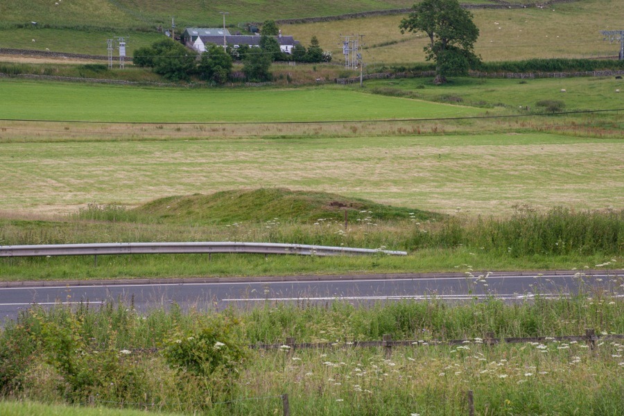
The rampart is around 1.5m tall at its maximum height, but the depth of the ditch, which measured around 10.0m across, is difficult to measure as it has silted up in places. The bailey measures around 65.0m north to south by around 60.0m east to west, and rises to a height of around 9.0m above the level of the river although it is only slightly higher than the surrounding land. Within the bailey the ground is uneven which may possibly suggest the remains of buildings.
The entrance to the bailey is thought to have been at the south-west corner where there is a 4.0m gap in the rampart, the ends of which have been rounded. A presumably relatively modern track runs from here through the bailey to the north-west corner where it breaks through the rampart.
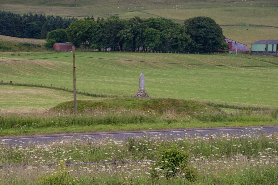
At the south-east corner of the bailey, close to the river, is an oval motte aligned approximately north-north-west by south-south-east. The base of the motte is surrounded by a 1.5m deep ditch, while the summit measures around 20.0m by around 12.0m and stands around 2.0m above the level of the bailey.
When the first castle was built here is unknown. The motte was excavated by George Vere Irving in the 19th century. He dug down around 2.0m and reached the natural soil level, which he found to be covered by several centimetres of charcoal and animals bones. He concluded that this was the remains of a funeral pyre pre-dating the castle. It may be that an earlier funerary monument was reused as a motte.
It has been suggested that this motte and bailey represents the earliest castle of Crawfordjohn, since the location of that property isn’t known and the well-preserved nature of this site suggests that it may have been of some importance.
John, a stepson of Baldwin of Biggar, is supposed to have added his name to his lands in Crawford, giving the name Crawfordjohn, in order to distinguish them from the lands of Crawford owned by Galfridus. The estate of Crawfordjohn was owned by John at least as early as 1153, and he witnessed a charter by Baldwin in 1160.
The property may have later been owned by the Lindsay family. When the castle fell out of use is unknown, but if it was the original castle of Crawfordjohn then it was presumably ultimately replaced by Crawfordjohn Castle a few kilometres away.
On top of the motte is a 20th century monument to Matthew McKendrick, a local postmaster and keen fisherman who died in 1926.
Alternative names for Abington motte
Crawford John; Crawfordjohn; Nether Abington
Where is Abington motte?
Abington motte is in the parish of Crawfordjohn and the county of Lanarkshire.
Grid reference: NS 9323 2498
Lat / long: 55.507025, -3.692007


