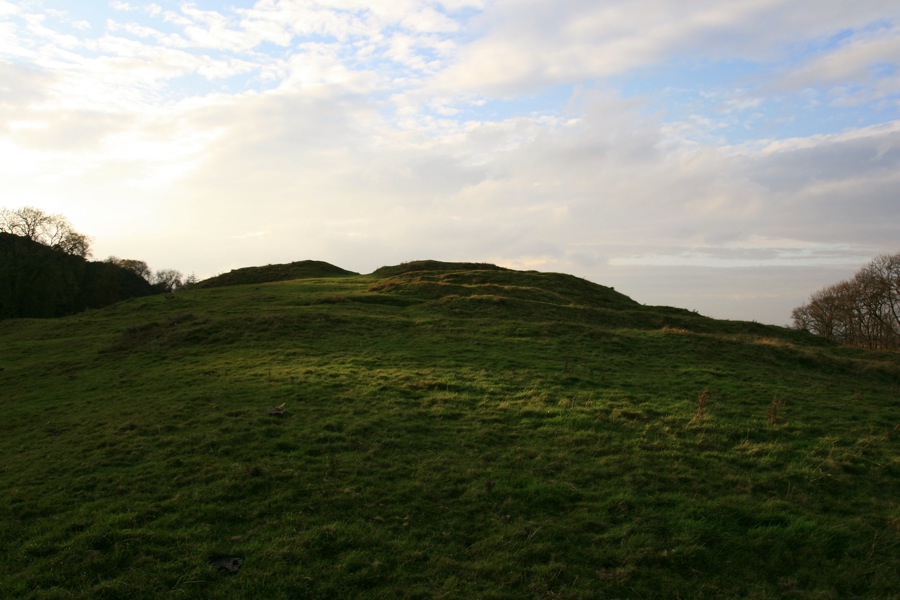

The Chesters is considered to be one of the best-preserved Iron Age forts in Scotland.
The fort is aligned approximately east to west, and encloses an area of approximately 116m by 46m within a series of numerous ramparts and ditches. The entire site covers an area of some 275m by 150m.
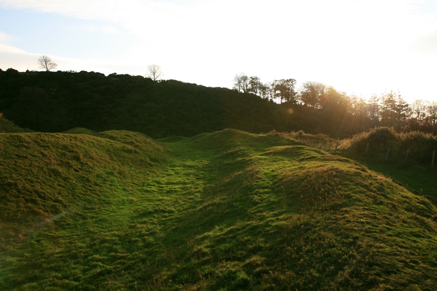
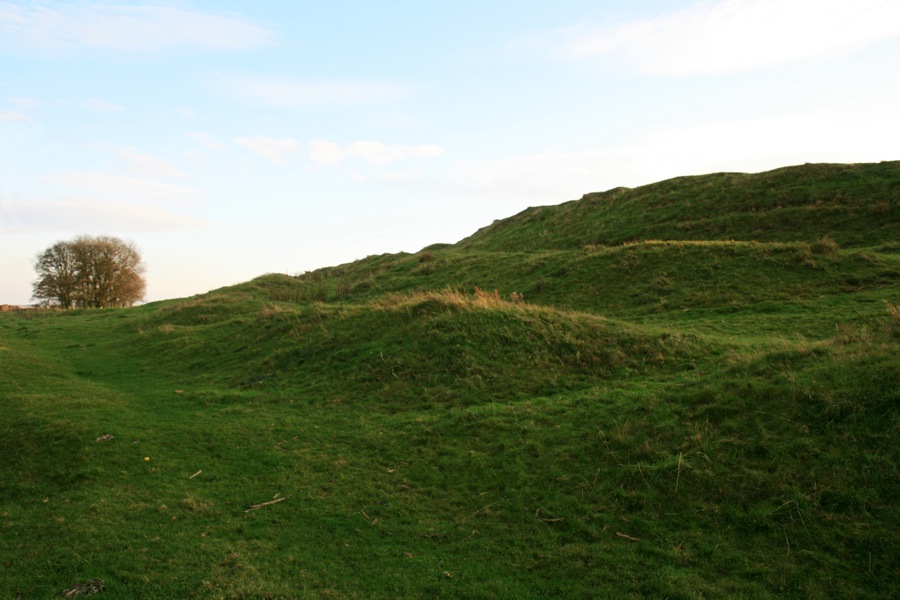
The outer ramparts survive up to a height of 3.5m, and are best defined at the north-western edge of the fort. The two main inner ramparts survive up to a height of 5.0m.
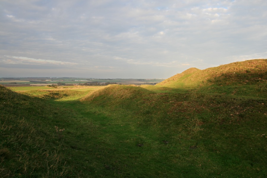
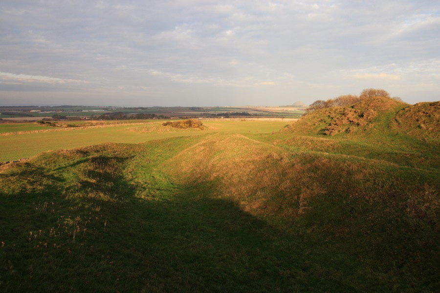
The entrance to the fort is clearly defined at the eastern end of the site, twisting its way through the various banks and ditches.
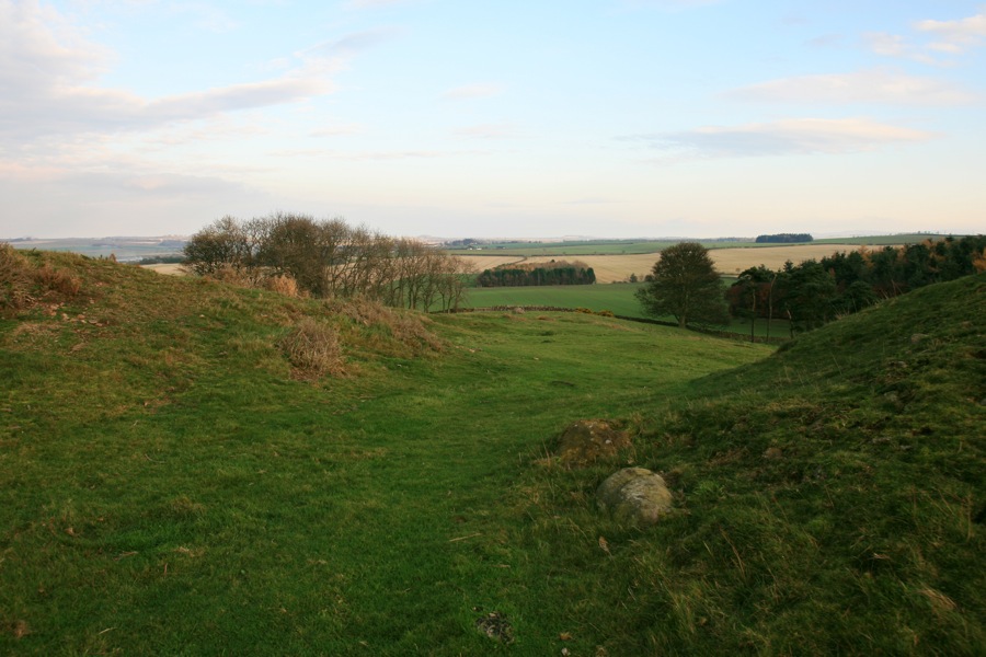
Beyond the eastern end of the fort an earth-fast boulder seems to mark the entrance. It also appears to be aligned with a small hill on the horizon, although I haven’t established what this is yet.
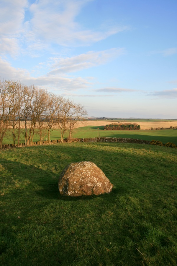
Following this alignment back through the centre of the fort leads to Arthur’s Seat on the other horizon. It is intriguing to think that this is one of the reasons this location was chosen.
Interestingly this fort is overlooked from the south by a rocky ridge, from where potential invaders would have been easily able to hurl missiles. Was defence of secondary importance when deciding on this site?
The interior of the fort was home to some twenty huts, the remains of which can be seen in several places as roughly circular low banks of stones.
Clicking the photo below will open a panorama image in a new window to give you a full-width view of the fort.

Alternative names for The Chesters
Drem
Where is The Chesters?
The Chesters is in the parish of Athelstaneford and the county of East Lothian.
Grid reference: NT 50760 78260
Lat / long: 55.994757, -2.7909676
OS Map for The Chesters
Weather at The Chesters
max 6°C / min 6°C
987mb
64%
100%
08:13 16:34
Overcast clouds
Weather observed at Haddington at 01:36


