Ogilvie Castle
Alternative names for Ogilvie Castle
Ogilvy Castle; Oglebee
Ogilvy Castle; Oglebee
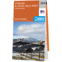
Ogilvie Castle is in the parish of Blackford and the county of Perthshire.
Grid reference:NN 9087 0809
Lat / long:56.252886,-3.762379


Enter a starting point


