Darngaber Castle (site of)
Where is Darngaber Castle?
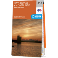
Darngaber Castle is in the parish of Hamilton and the county of Lanarkshire.
Grid reference:NS 7294 5008
Lat / long:55.72741200,-4.02471260
Darngaber Castle is in the parish of Hamilton and the county of Lanarkshire.
Grid reference:NS 7294 5008
Lat / long:55.72741200,-4.02471260

Enter a starting point