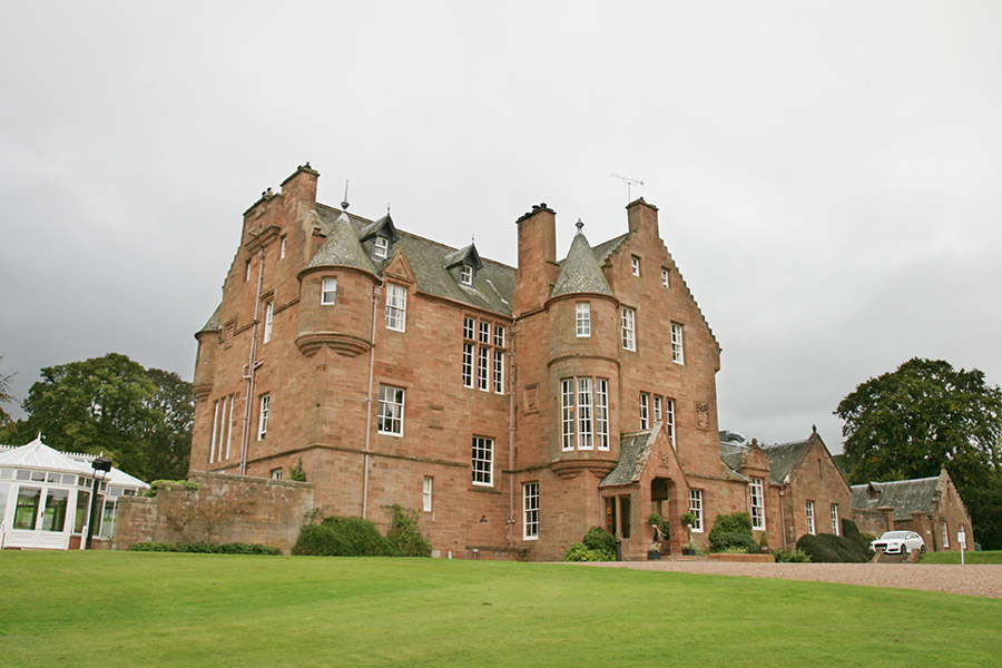
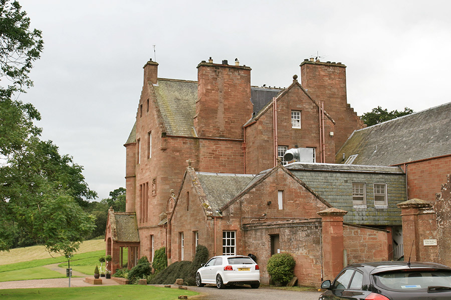
Cringletie House
Cringletie House is a 19th century mansion built on the site of an old tower house.
The “tower and manor place” of Cringiltie are mentioned in 1633.
There appear to be some restored architectural details, such as heraldic panels and dormer pediments, which look like they may have come from an older building.
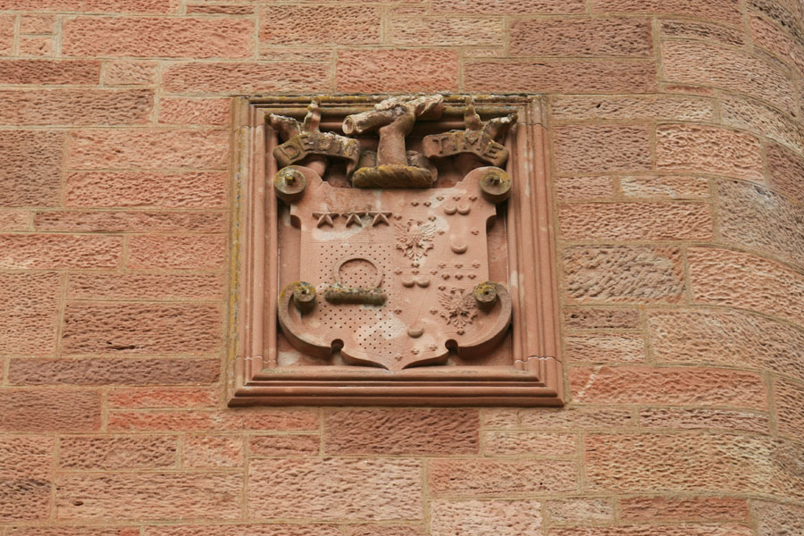
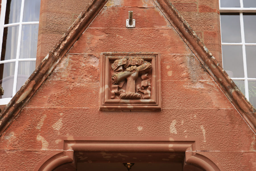
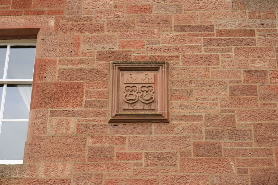
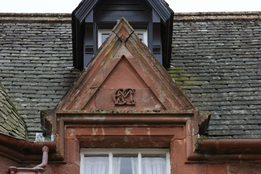

Although most histories state that the old house was demolished and replaced, it’s possible that some remains were incorporated into the new building.


Alternative names for Cringletie House
Crelenge; Cringiltie; Cringly; Cruigly; Wester Wormestoun


