Chapelhill
Alternative names for Chapelhill
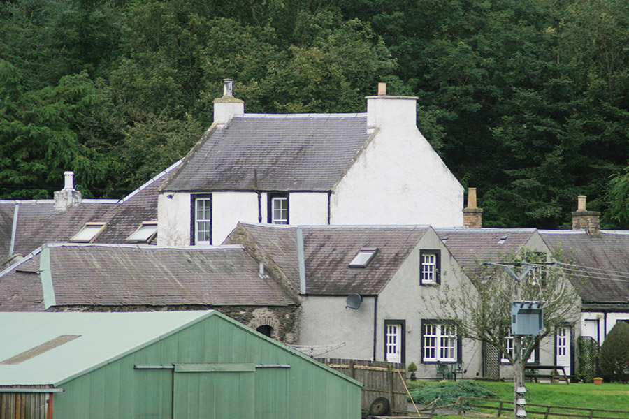
Chapelhill Farm
Where is Chapelhill?
Chapelhill is in the parish of Peebles and the county of Peeblesshire.
Grid reference:NT 24528 42165
Lat / long:55.667194,-3.201270
Chapelhill Farm
Chapelhill is in the parish of Peebles and the county of Peeblesshire.
Grid reference:NT 24528 42165
Lat / long:55.667194,-3.201270


Enter a starting point