Cavers House
Alternative names for Cavers House
Caveris; Cavers Castle; Caverys; Kevers; Warden's Tower
Where is Cavers House?
Cavers House is in the parish of Cavers and the county of Roxburghshire.
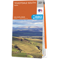
Grid reference:NT 54060 15455
Lat / long:55.430822,-2.7275027