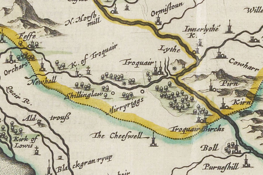
Newhall
Twee-dail with the Sherifdome of Etterik-Forest called also Selkirk
Joan Blaeu, Amsterdam, 1654map image courtesy of NLS
Joan Blaeu, Amsterdam, 1654map image courtesy of NLS
A tower is marked on Blaeu’s mid-17th century map at Newhall between Orchart and Shillinglaw. I have placed it at Newhall farm for now pending further research.


Where is Newhall?
Newhall is in the parish of Traquair and the county of Peeblesshire.
Grid reference: NT 31646 32435
Lat / long: 55.5807480557524, -3.08582408656641


