Inchbrakie Castle
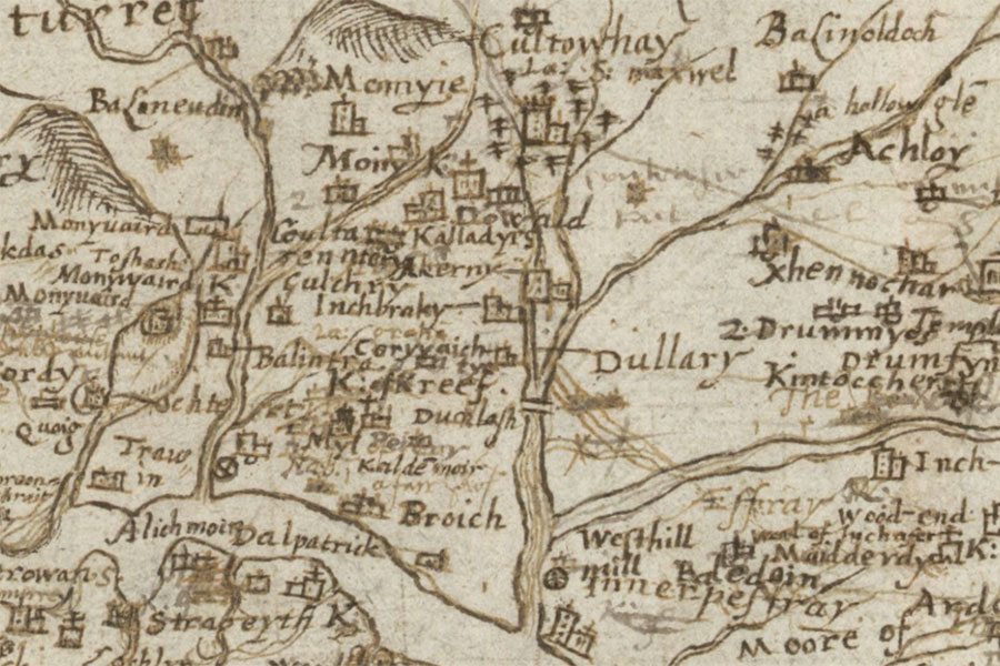
Lower Glen Almond; StrathearnTimothy Pont, c. 1583 – 1596map image courtesy of NLS
Inchbrakie Castle was a medieval castle surrounded by a moat, however it was destroyed following the Jacobite Rising of 1715.
It is is marked on John Adair’s 1720 map (based on his 1683 manuscript).
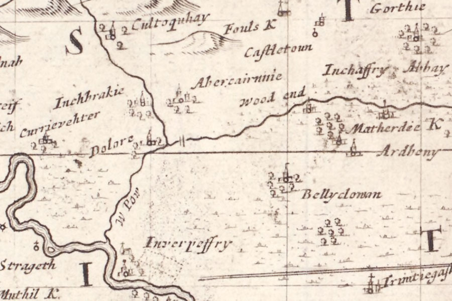
The Mapp of Straithern, Stormount, and Cars of Gourie, with the Rivers Tay and Jern
John Adair, 1720
John Adair, 1720
The last vestiges of the castle were removed around 1884 and stones from it were used to build the Inchbrakie Bower in 1888.


Alternative names for Inchbrakie Castle
House of Inchbrakie; Inchbracki; Inchbrackie Castle; Inchbraco; Inchbrakeœ; Inchbrakke; Inchbrako; Inchbrackoe; Inchbrakoe; Inchbraky; Inchbreakie; Inchbroko