Drumkilbo House
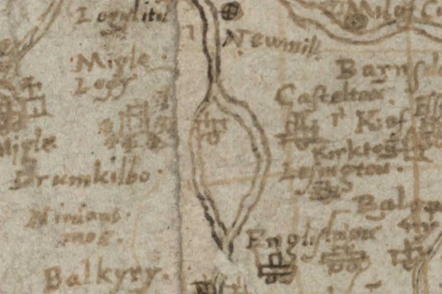
Middle Strathmore
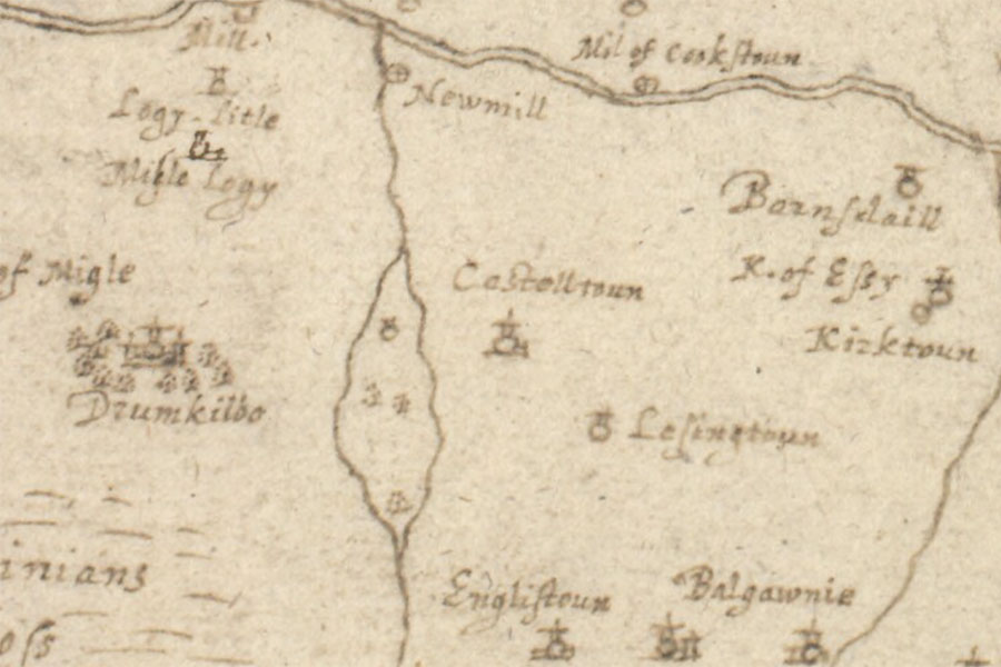
Timothy Pont, c. 1583 – 96map image courtesy of NLS
Timothy Pont, c. 1583 – 96map image courtesy of NLS
Although the exterior of Drumkilbo House largely owes its appearance to work from the early 19th and 20th centuries, at its core are the remains of a 14th century tower.
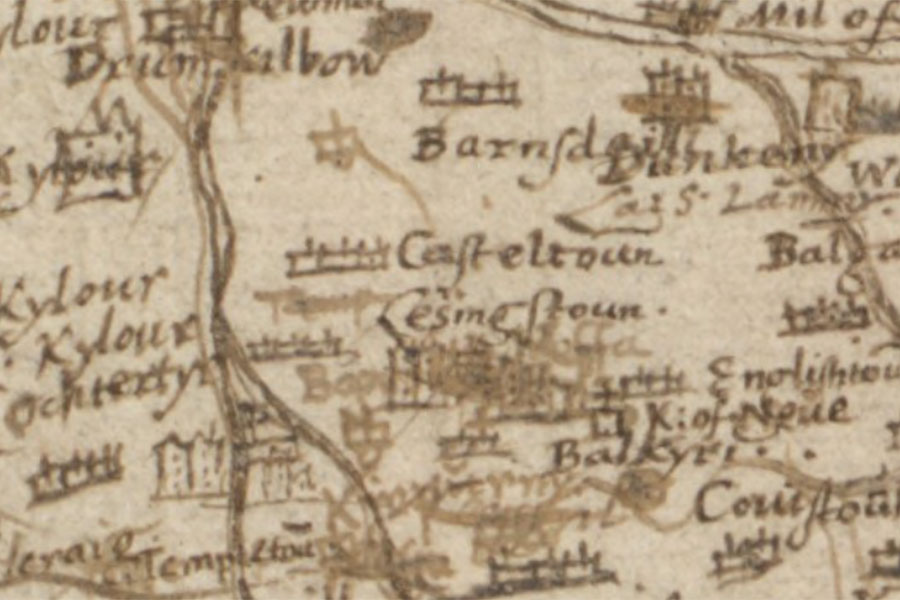
Lower Angus and Perthshire east of the Tay
Timothy Pont, c. 1583 – 96map image courtesy of NLS
Timothy Pont, c. 1583 – 96map image courtesy of NLS
Brae of Angus, and The height of Anguss, M.T.P.
Robert Gordon, c. 1636 – 52map image courtesy of NLS
Robert Gordon, c. 1636 – 52map image courtesy of NLS
Map of the County of Forfar or Shire of Angus
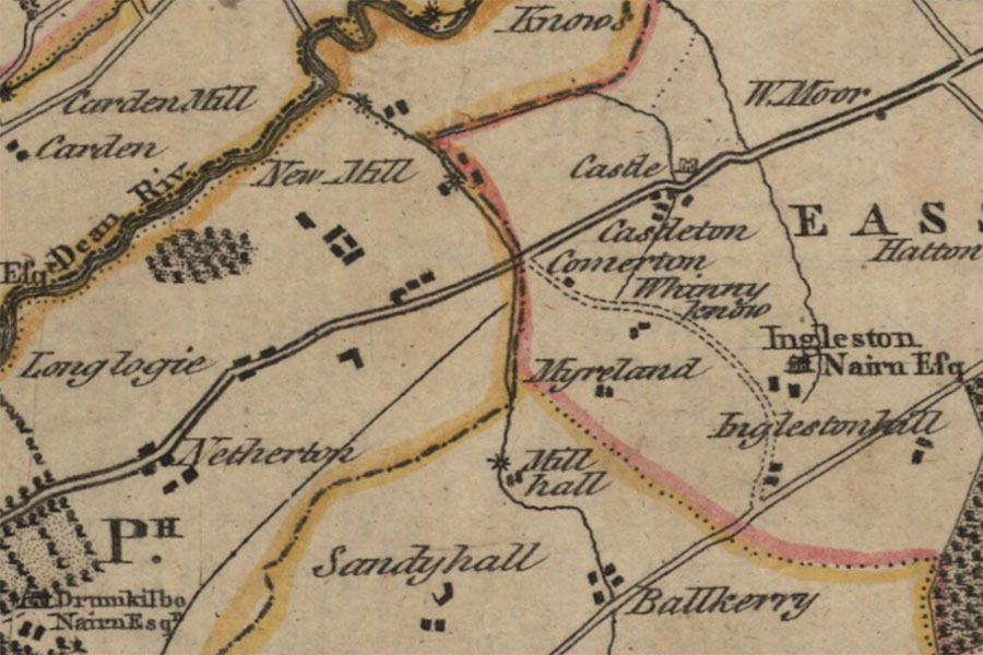
John Ainslie, 1794map image courtesy of NLS
John Ainslie, 1794map image courtesy of NLS
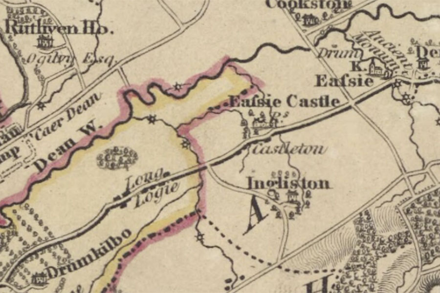
Map of the basin of the Tay
James Knox, 1831map image courtesy of NLS
James Knox, 1831map image courtesy of NLS


Alternative names for Drumkilbo House
Dramkilbo; Drumkilbow
Where is Drumkilbo House?
Drumkilbo House is in the parish of Meigle and the county of Perthshire.
Grid reference: NO 30392 44885
Lat / long: 56.590690, -3.1350397