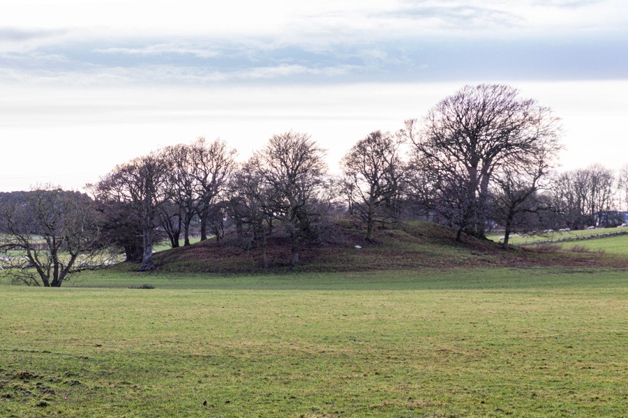

Castlehill is a substantial motte which stands on the flood plain of the River Avon.
The motte is roughly oval in plan and measures around 61m west-north-west by east-south-east and around 46m north-north-east by south-south-west at the base. It rises to a height of around 4.6m and the flattened summit measures around 32m by 27m.
Across the top of the mound is a broad, shallow trench around 21m in length which is thought to be relatively modern and perhaps as a result of an unpublished excavation. To the south-west of the trench is a terraced area likely to have been constructed from the material removed from the trench.
The summit is littered with field clearance stones which makes it difficult to ascertain if any trace of buildings remains, however the summit appears to have been enclosed by a stone wall. In 1723 the motte was described as “an old fortification called Castlehill near to the house of Compstone where there are a great many vaults”.
This may have been the site of Old Compstone Castle which may have been superseded by a castle at Compston, a laird’s house around 300m to the north.
Alternative names for Castlehill motte
Old Compstone Castle
Where is Castlehill motte?
Castlehill motte is in the parish of Muiravonside and the county of Stirlingshire.
Grid reference: NS 9575 7565
Lat / long: 55.96250800, -3.67153490


