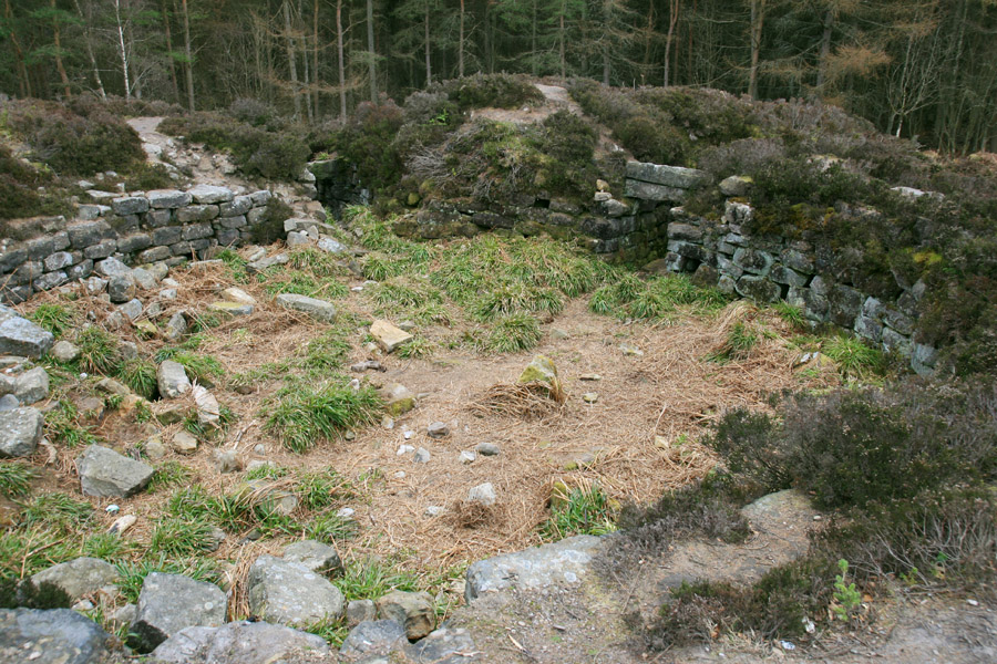

Tappoch broch occupies the summit of a rocky knoll in the middle of Tor Wood. It is surrounded by a pair of concentric banks which would originally have been boulder-faced walls with rubble cores.

When the site was first excavated in 1864 it took the form of a large mound, and the excavators – led by Lieutenant-Colonel Joseph Dundas of Carron Hall and nearby Torwood Castle – removed around 200 tons of boulders and other material from the centre of the broch, exposing the original natural rock surface floor.
They also opened up the entrance on the south-east side, which is around 0.8m wide and has a heavy stone lintel above it.
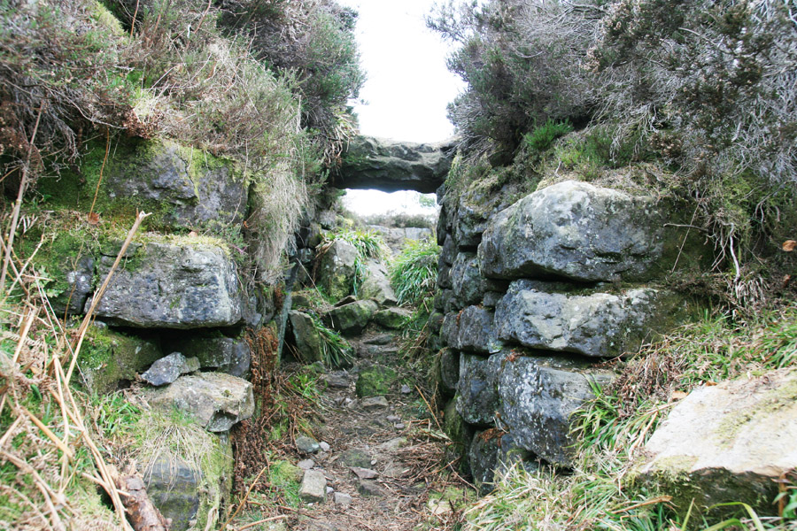
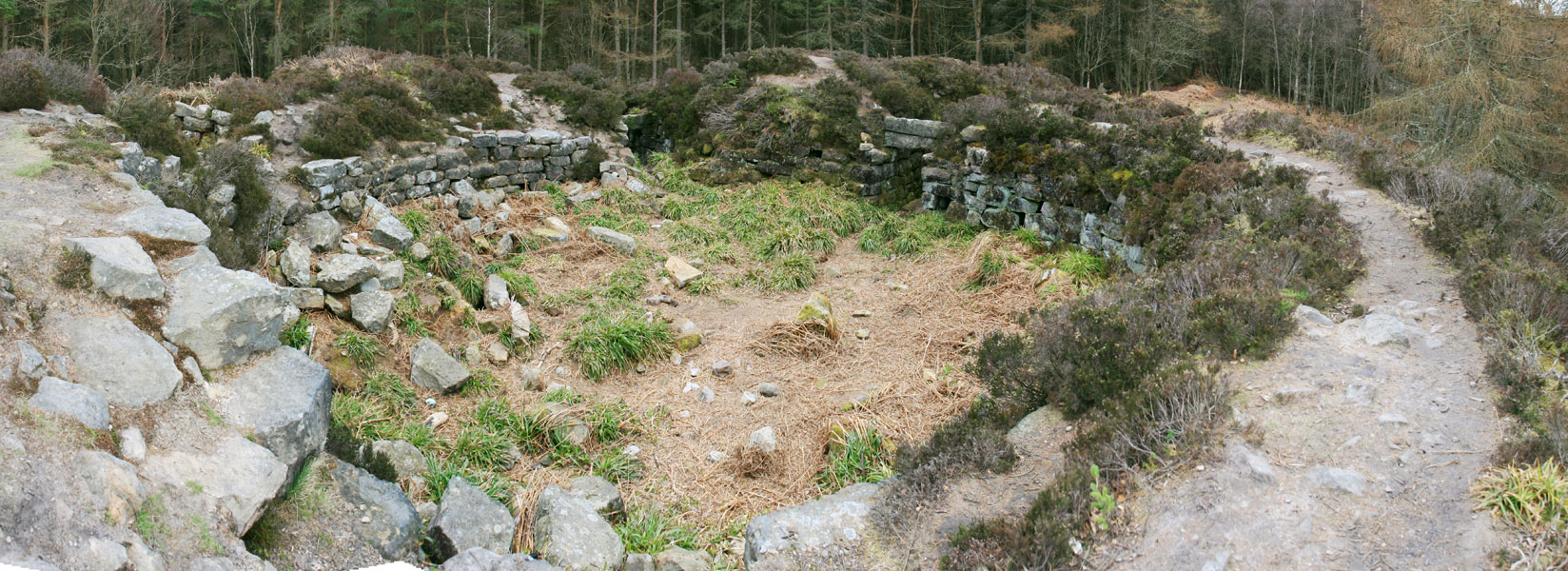
Inside the broch, the inner walls have several small chambers built into them, possibly for storage. To the south, just to the left of the entrance as you enter, is a doorway which gives access to an intra-mural staircase.
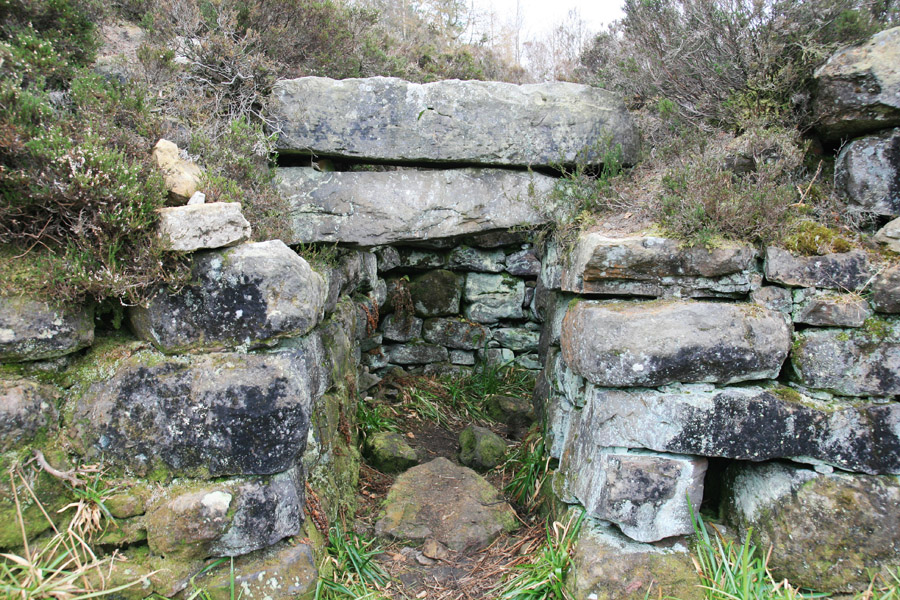

The staircase would originally have led to either intra-mural chambers or an upper level, but climbing it today just takes you onto the top of the walls that remain, and give you a view down into the broch. The walls measure between 5.0m and 7.5m thick.
Clicking the photo below will open a panorama image in a new window to give you a full view of the broch’s interior.
Alternative names for Tappoch
Tappock; The Tappoch; The Tappock; Tor Wood
Where is Tappoch?
Tappoch is in the parish of Dunipace and the county of Stirlingshire.
Grid reference: NS 83335 84986
Lat / long: 56.043570, -3.874193


