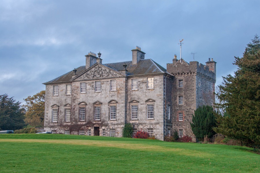
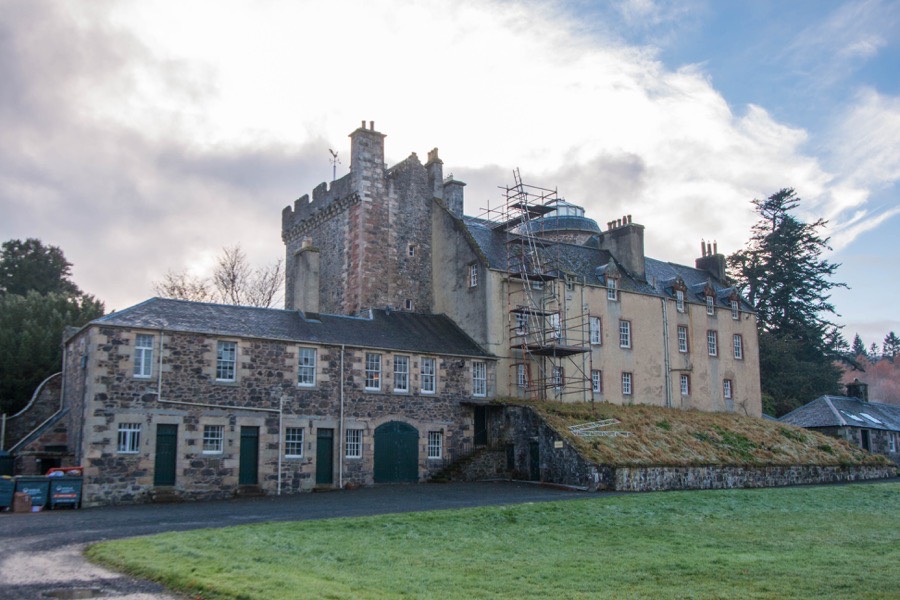
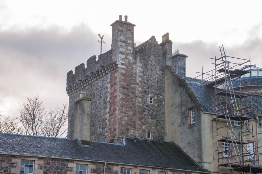
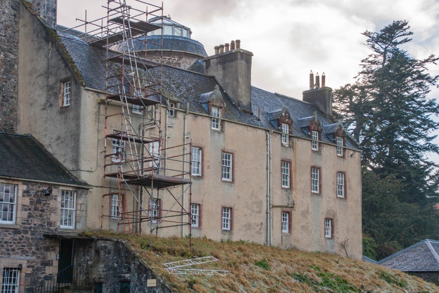
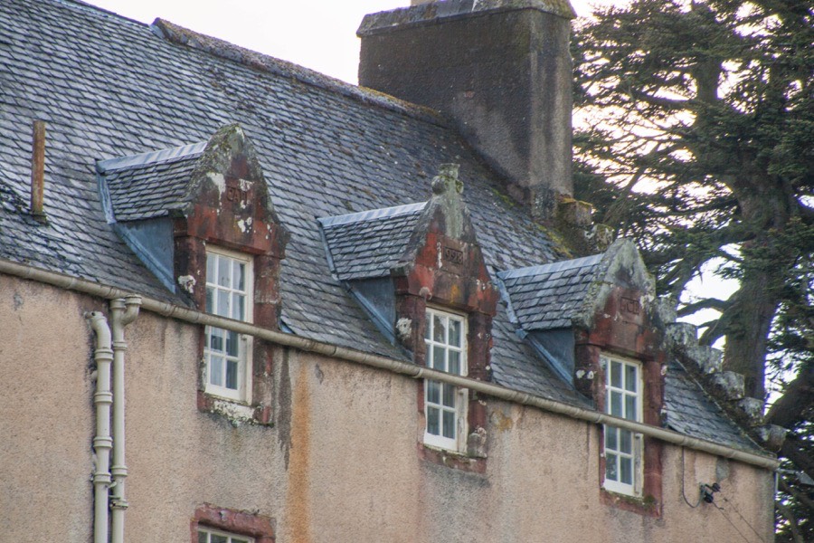
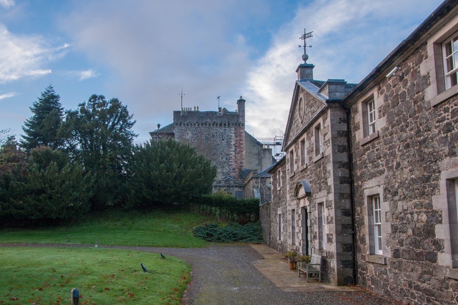
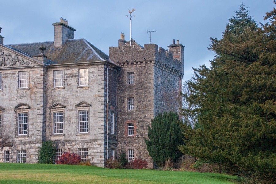
Touch House


Alternative names for Touch House
Touch Fraser; Touchfrasere; Tulchfraser; Tulchfrasere; Tulchfresall
Where is Touch House?
Touch House is in the parish of St Ninians and the county of Stirlingshire.
Grid reference:NS 75328 92755
Lat / long:56.1112260,-4.0064208