Pathfoot Stone

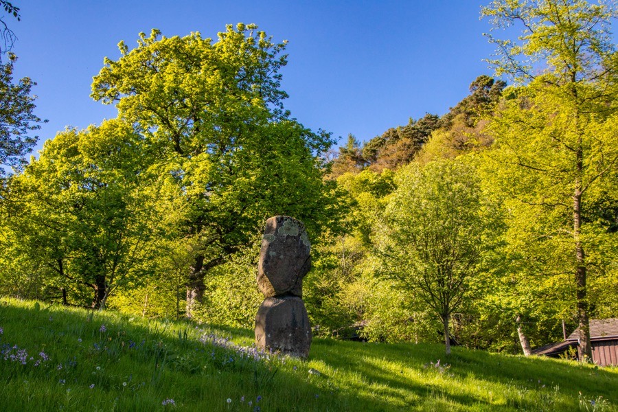
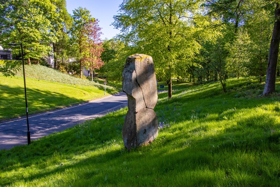
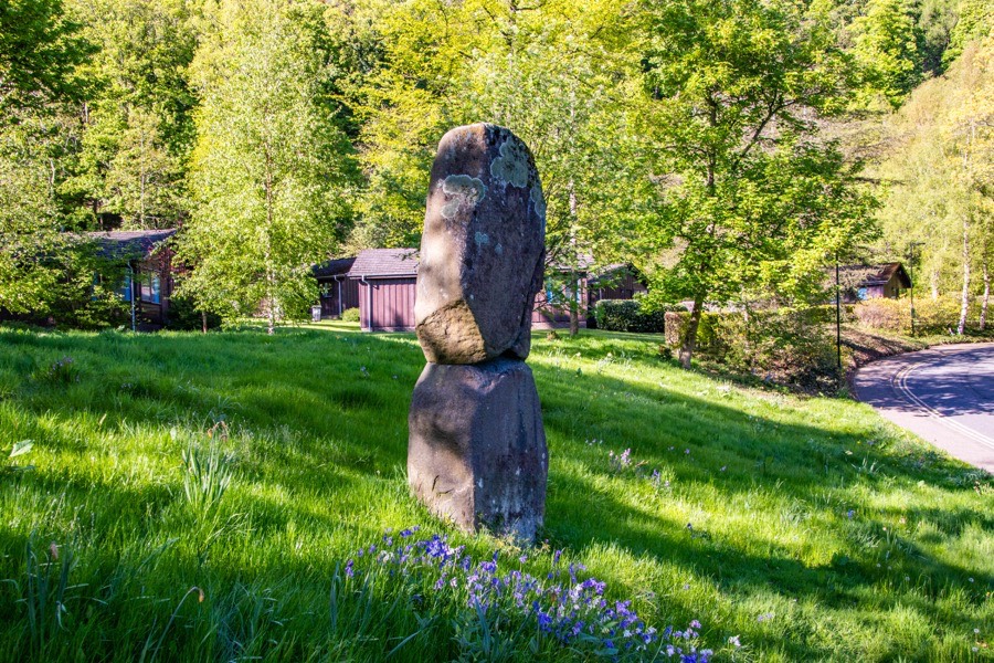
The Pathfoot Stone is around 2.8 metres in height and stands on an embankment by a roadside within the grounds of the University of Stirling. At some point in history the stone broke into three pieces but has now been re-erected.

The village of Pathfoot grew up around the stone but was cleared away by the owners of the Airthrey Castle estate in the 19th century.

Around 900 metres to the east is the Airthrey Stone.
Alternative names for Pathfoot Stone
University of Stirling
Where is Pathfoot Stone?
Pathfoot Stone is in the parish of Logie (Stirlingshire) and the county of Stirlingshire.
Grid reference: NS 80604 96871
Lat / long: 56.1495343375748, -3.92347780852131
OS Map for Pathfoot Stone
References (websites)
Ancient sites near Pathfoot Stone
Castles near Pathfoot Stone
Pictish stones near Pathfoot Stone
Pictish sites near Pathfoot Stone
Accommodation near Pathfoot Stone
Stirling Management Centre
0.7km away
Walmer Guesthouse Hotel
1.5km away
Royal Hotel, Bridge of Allan
1.5km away
Adamo Bridge of Allan
1.7km away
Stirling SYHA Hostel
3.5km away
Willy Wallace Hostel
3.5km away
Premier Inn Stirling City Centre
3.5km away
The Stirling Highland Hotel
3.5km away
Golden Lion Hotel
3.6km away
Terraces Hotel, Stirling
4.0km away
Cafés, restaurants & bars near Pathfoot Stone
Premier Inn Stirling City Centre
3.5km away
The Stirling Highland Hotel
3.5km away
Papa Joe's Stirling
3.8km away
Sheriffmuir Inn
5.7km away
Premier Inn Stirling South (M9, J9)
7.4km away
Airth Castle Hotel
13.7km away
Premier Inn Falkirk (Larbert)
14.2km away
Premier Inn Falkirk North
14.8km away
The Cross Keys
15.6km away
The Inn at Kippen
15.6km away


