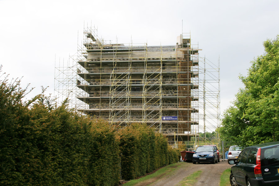
Niddry Castle


Alternative names for Niddry Castle
Niddrie Castle
Niddrie Castle
Niddry Castle is in the parish of Kirkliston and the county of West Lothian.
Grid reference:NT 09525 74374
Lat / long:55.953894,-3.450598


Enter a starting point


