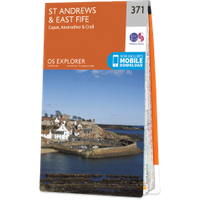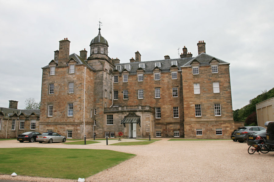
Elie House
Elie House is a late 17th century mansion which was built on the site of an earlier castle and extended and remodelled in the 18th, 19th and 20th centuries.
In the mid-12th century lands in this area of the south-east coast of Fife were held by Merleswain, Lord of Kennoway and Ardross, son of Colbán and grandson of Merleswain. His son, also Merleswain, witnessed charters by Richard the Chaplain, Bishop of St Andrews, in the third quarter of the 12th century. Towards the end of the 12th century Merleswain’s son, Waltheof, inherited Ardross, Fethkill and Kennauchy and his possessions also included Kincraig, Sandford and Elie.
Waltheof’s son, another Merleswain, died around 1250 leaving three daughters, Scolastica, Margaret of Ardross and Ela of Ardross.
The lands later passed to the Anstruther family and it was they who built the castle in the 14th century.
Around 1690 Sir William Anstruther of Anstruther bought the lands of Ardross, together with those of Elie, Bruntshiels, Muircambus and Carmurie, and in 1694 he was granted a charter by Queen Anne “of the baronies of Anstruther and Ardross, with many other lands”. He commissioned the grand new mansion of Elie House to be built in 1697 and the Anstruthers moved there, leaving their seat of Anstruther Place to be tenanted by old servants of the family.


Alternative names for Elie House
Elie Castle; Ely C.; Ely Castle