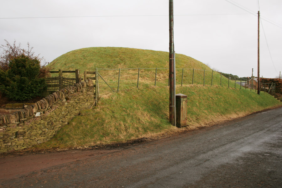
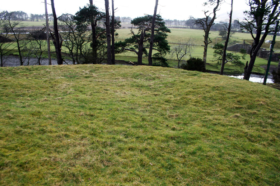
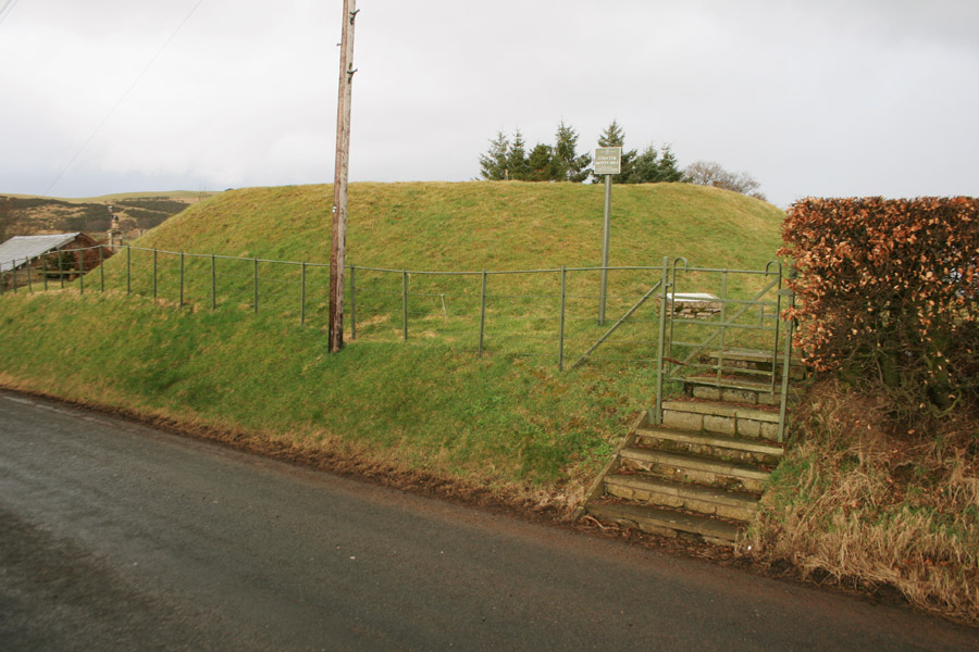
Coulter motte


Alternative names for Coulter motte
Coulter Mote; Coulter Motte Hill; Cowtyr; Culter; Cultir; Cultire; Cultre; Cutir; Wolchclide; Wolfclyde
Where is Coulter motte?
Coulter motte is in the parish of Culter and the county of Lanarkshire.
Grid reference:NT 0187 3629
Lat / long:55.610317,-3.559297