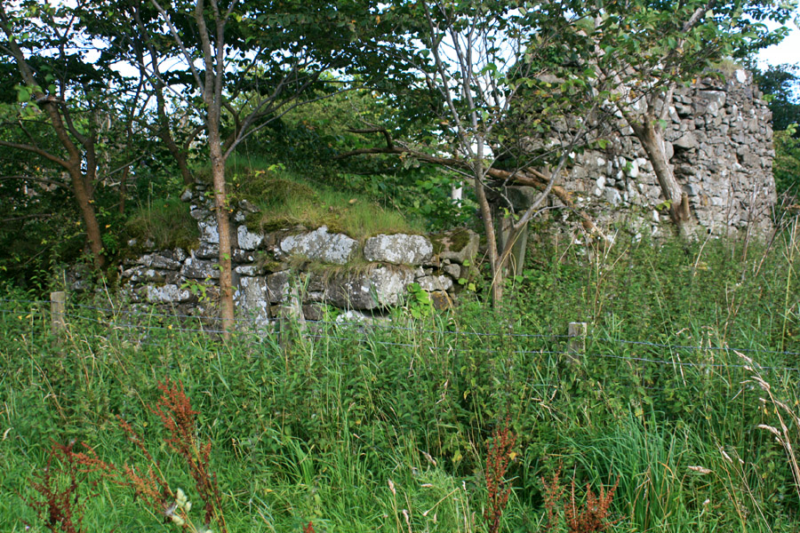
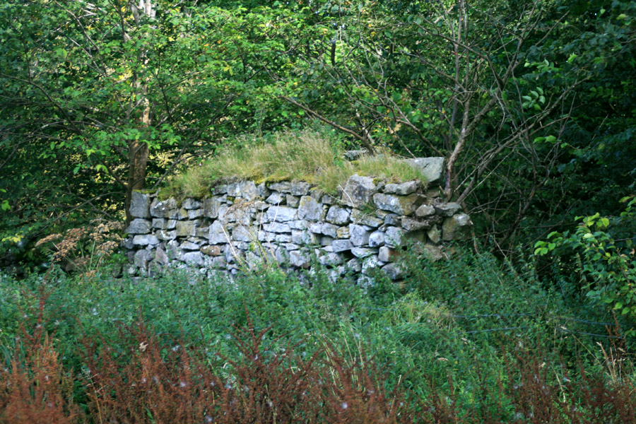
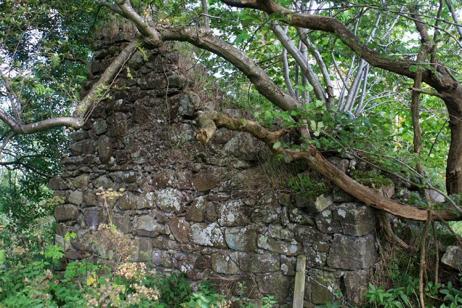
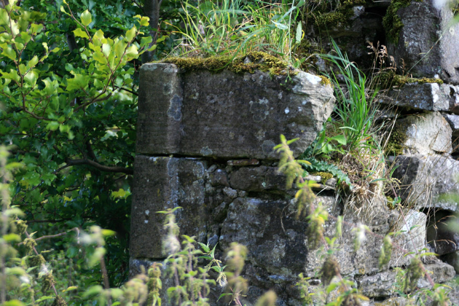
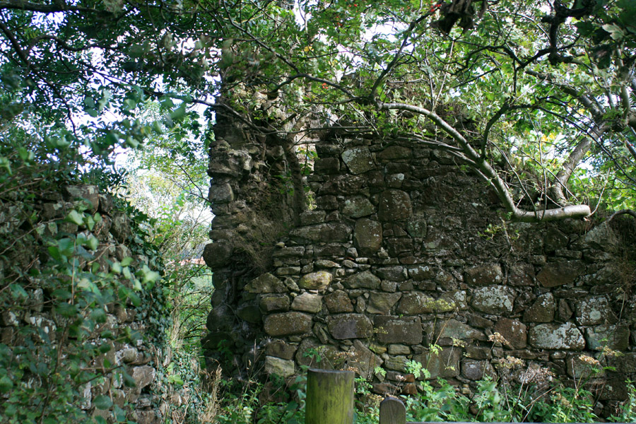
Carribber Castle
Carribber Castle is a ruined 16th century tower house which was built by Rob Gibb.
In 1649 James Gibb of Carribber and Sir Robert Drummond of Midhope granted to David Hay, son of John Hay of Easter Kennet, the lands of Woodcockdale which Sir Robert’s father, Alexander Drummond, had occupied half a century earlier.
The castle is marked as a tower named Carmbber, probably a mistranscription of Carribber from an earlier Pont map, within enclosed parkland on Blaeu’s map of 1654.
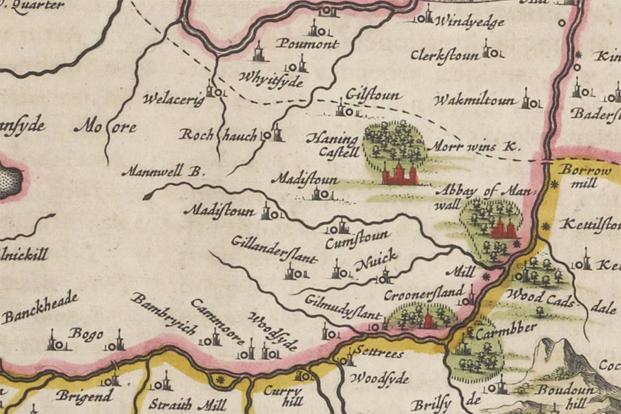
Sterlinensis praefectura, Sterlin-Shyr
Joan Blaeu, Amsterdam, 1654image courtesy of NLS
Joan Blaeu, Amsterdam, 1654image courtesy of NLS


Alternative names for Carribber Castle
Carmbber; Carribber Tower; Carribberis; Carriber Castle; Karriber; Rob Gibb's Castle


