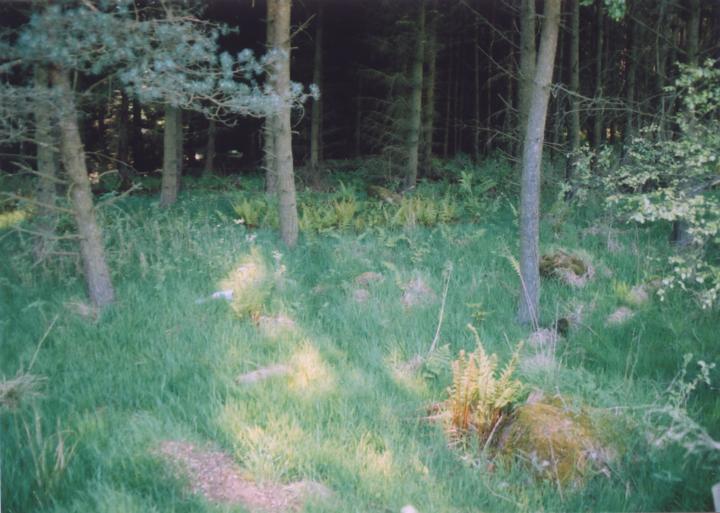
Bandirran
What looks like a possible four-poster stone circle can be found here.


Alternative names for Bandirran
Bandirran 4-poster; Bandirran four-poster
Where is Bandirran?
Bandirran is in the parish of Collace and the county of Perthshire.
Grid reference: NO 2100 3120
Lat / long: 56.46640783, -3.282329142
Directions to Bandirran
Enter a starting point
Get directions

Weather at Bandirran
2°C
max 2°C / min 2°C
max 2°C / min 2°C
2km/h NNW
1007mb
88%
77%
04:35 19:45
1007mb
88%
77%
04:35 19:45
Broken clouds
Weather observed at Saint Martins at 05:23

Ancient sites near Bandirran
Castles near Bandirran
Pictish stones near Bandirran
Pictish sites near Bandirran
Accommodation near Bandirran
Perth SkyLodge
6.6km away
Inchture Hotel
7.3km away
Murrayshall House Hotel
7.5km away
Meikleour Hotel
9.1km away
The Longforgan Coaching Inn
10.1km away
Adam Guest House
11.0km away
Sunbank House Hotel
11.9km away
Salutation Hotel
12.0km away
Almond Villa B&B
12.1km away
Mercure Perth Hotel
12.1km away
Accommodation search
Cafés, restaurants & bars near Bandirran
Murrayshall House Hotel
7.5km away
Breizh
11.8km away
Holiday Inn Express Perth
12.4km away
Best Western Queens Hotel & Leisure Club
12.6km away
Premier Inn Dundee West
13.7km away
Altamount Country House Hotel
13.7km away
Huntingtower Hotel
14.7km away
Best Western Invercarse Hotel
15.9km away
Premier Inn Dundee North
15.9km away
Alyth Hotel
17.7km away


