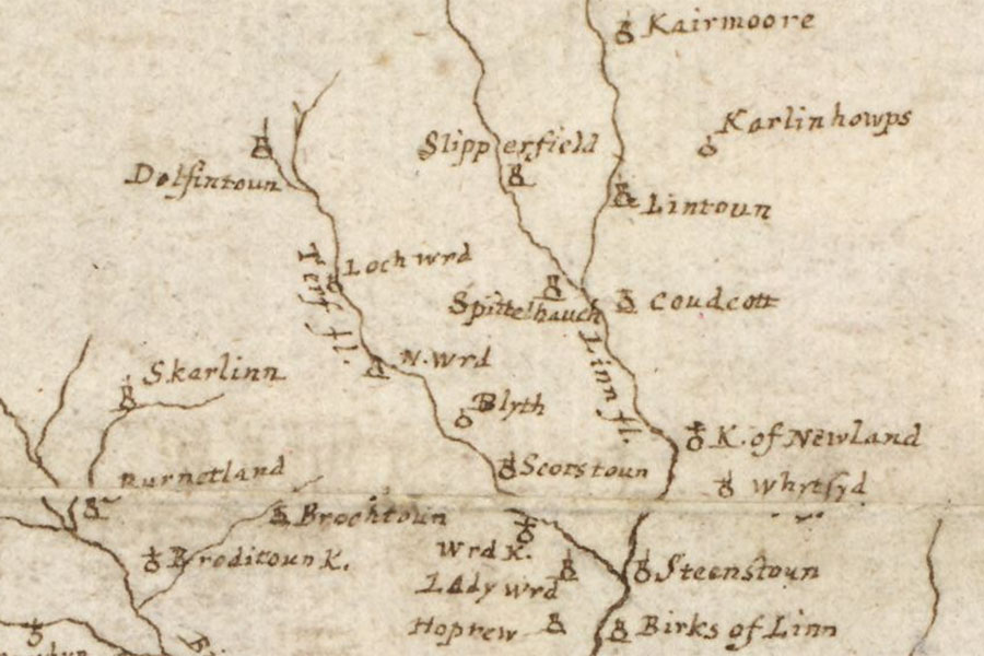

Joan Blaeu, Amsterdam, 1654map image courtesy of NLS
Wester Happrew was a peel tower or bastle in the 16th century however nothing of it now remains above ground.
To the south of the 18th century farmstead of Wester Happrew are earthworks on top of a hill which were identified during a LiDAR survey. They comprise of a three-sided rectilinear enclosure measuring around 25.0m north-west to south-east by 13.0m south-west to north-east, the west side of the enclosure is missing possibly due to erosion. Within the enclosure a building can be identified, rectangular in plan and measuring around 13.0m south-west to north-east by around 7.0m north-west to south-east, which has been interpreted as a possible bastle or small hall. To the north-east of the enclosure are a series of earthworks which may represent an enclosure and building platforms. To the south of the enclosure are medieval and post-medieval rig and furrow field systems.
Alternative names for Wester Happrew
Brownsland; W. Hoprew; Wester Hoprew; Westerhoprew
Where is Wester Happrew?
Wester Happrew is in the parish of Stobo and the county of Peeblesshire.
Grid reference: NT 16862 41292
Lat / long: 55.658008, -3.322949


