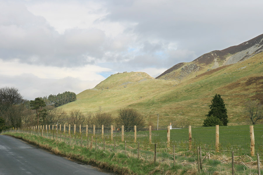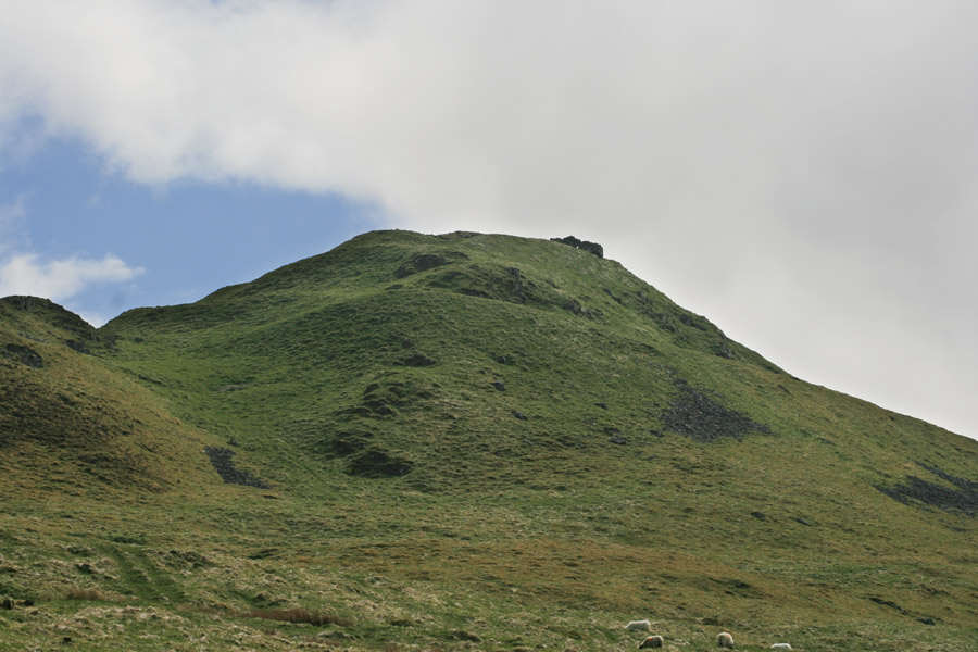

Tinnis Castle fort occupies a prominent position on a steep-sided hill overlooking the Tweed valley below.
Built in the Iron Age, the fort encloses an area measuring around 70.0m by around 27.0m, covering the whole of the plateau on the summit of the hill, and is surrounded by a timber-laced stone wall. Further down the slopes were two further walls, the lower of which has an internal ditch along the south-west side. Both these walls stop at the south-east side, where the slopes were presumably considered steep enough to not require further defences.

The original entrance is thought to have been to the south-west, where there is a break in all three walls and the ditch inside the lower wall is bridged by a causeway. Outside the walls are outworks at various points, including a hornwork to the south-west with a bank behind it, and ditch cutting across the ridge at the north-east end of the hilltop.

In the 12th or 13th centuries a castle was built in the middle of the fort, taking advantage of the position and pre-built defences. Some modifications were made to the fort at this time, including the creation of a new entrance at the north-east, and the filling in of the old one at the south-west by piling rubble into the gap in the main wall and building a wall across the causeway in the lower wall.
The fort is overlooked by a second fort on Henry’s Brae.
Where is Tinnis Castle?
Tinnis Castle is in the parish of Drumelzier and the county of Peeblesshire.
Grid reference: NT 14155 34439
Lat / long: 55.596034, -3.363663


