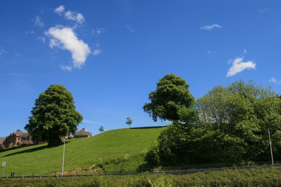

A castle once stood on Stone Hill but nothing of it now remains.
The castle occupied a commanding position on Stone Hill at the end of a steep-sided ridge on the east bank of the Jed Water.
Little is known about the early history of the castle which stood here, however it is thought to have been owned by the Kerrs of Ferniehirst Castle. It may have been destroyed in 1409 at the same time as Jedburgh Castle or perhaps in the 16the century. Jedburgh was attacked by Thomas Howard, 2nd Earl of Surrey, in 1523, by Edward Seymour, 1st Earl of Hertford, in 1544 and was occupied by the English before the Battle of Ancrum in 1545 and before the Battle of Pinkie in 1547.
All that is known about the structure is that the walls were between 1.8m and 2.1m thick.
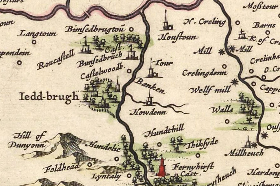
An apparent tower named Howdenn is marked on Blaeu’s mid-17th century map on the opposite side of the Jed Water to Jedburgh, to the south of what is presumably the Howden Burn, however this likely represents a tower or settlement at Howden. To the north of the burn is a tower named Tour which could conceivably be Stone Hill however this is more likely to be Hartrigge.

Joan Blaeu, Amsterdam, 1654map image courtesy of NLS
In 1823 Stoney Hill is marked on John Wood’s map of Jedburgh as belonging to a Mr Davidson of Stewartfield, a property further along the ridge known earlier and later as Hartrigge.
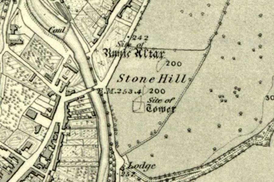
The last of the foundations of the tower were removed around 1852.

Ordnance Survey, 1863map image courtesy of NLS
The castle may appear on Roy’s Military Survey as a red square on the east bank of the Jed Water, although the building isn’t named so it’s difficult to say for sure.
Nothing now remains on the site to suggest what once stood here.
Alternative names for Stone Hill
Stoney Hill


