Gledswood
Gledswood was a tower house which is now incorporated into a barn at Gledswood Farm.
Originally part of the lands associated with Dryburgh Abbey, after the Reformation Gledswood passed to the Erskine family then the Wright family by 1644. A William Lauder of Gledswood is recorded in 1650.
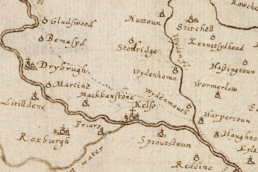
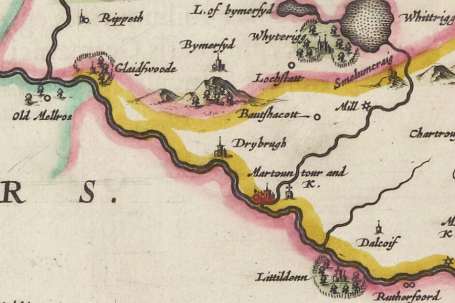
In the mid-17th century Gledswood appears on Gordon’s map as Gladswood and on Blaeu’s map as Glaidswoode.

Robert Gordon, c.1636-1652

Joan Blaeu, Amsterdam, 1654
The current building is rectangular in plan with harled walls and has crow-stepped gables and an external stair to the rear. The central door has a carved stone surround and features a gunloop to one side. A lintel carved with the date 1703 and the initials PR and JS probably reflects remodelling work at that time.
Gledswood was replaced in the early 19th century by a new house to the east, also called Gledswood, and the older building became known as Old Gledswood House. It is now used as a barn and is surrounded by the buildings of Gledswood Farm.
Alternative names for Gledswood
Gladswood; Glaidswoode; Old Gladswood House; Old Gledswood House
Where is Gledswood?
Gledswood is in the parish of Mertoun and the county of Berwickshire.
Grid reference: NT 58571 34491
Lat / long: 55.602260, -2.659078


