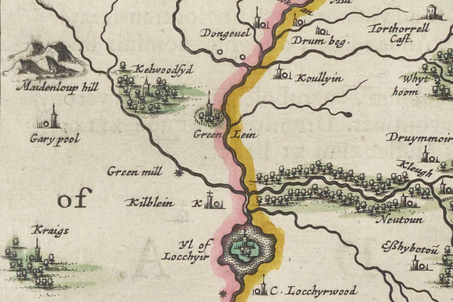
Garypool

Annandiae praefectura, Vulgo, The Stewartrie of Annandail
Joan Blaeu, Amsterdam, 1654map image courtesy of NLS
Joan Blaeu, Amsterdam, 1654map image courtesy of NLS
A tower named Garypool is marked on Blaeu’s mid-17th century map of Annandale, based on Pont’s late 16th century work, but its exact location has been lost.
The name Garypool may derive from a pool of water on the surrounding Gore Moss.
I have placed the site of the tower at earthworks visible on aerial photographs as cropmarks pending further research. The cropmarks represent a slightly elevated platform and have been tentatively identified as a possible Roman camp, but it’s possible that they may in fact represent a medieval site.
Where is Garypool?
Garypool is in the parish of Dumfries and the county of Dumfriesshire.
Grid reference: NX 99607 73553
Lat / long: 55.046301, -3.572778


