
Situated on the north-eastern slopes of Cockburn Law (which has another fort on its summit), this site consists of a fort, within which is a huge broch and a settlement of hut circles.
The fort is perched on a ridge above the Whiteadder Water, and on the north side was defended by a stone bank running along the edge of the ridge.
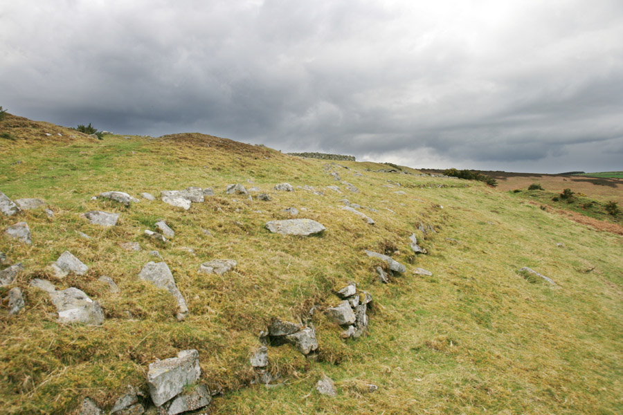
On the south, east and west sides the fort was defended by a double rampart, with a ditch outside each bank. The entrance was to the west-south-west. The defences enclose an approximately oval area measuring around 135 metres east to west by around 75 metres north to south.
Towards the north-west corner of the fort a huge broch was constructed, probably in the first half of the second century AD. The walls of the broch average around 5.2 metres thick, enclosing a central area around 16.8 metres in diameter.
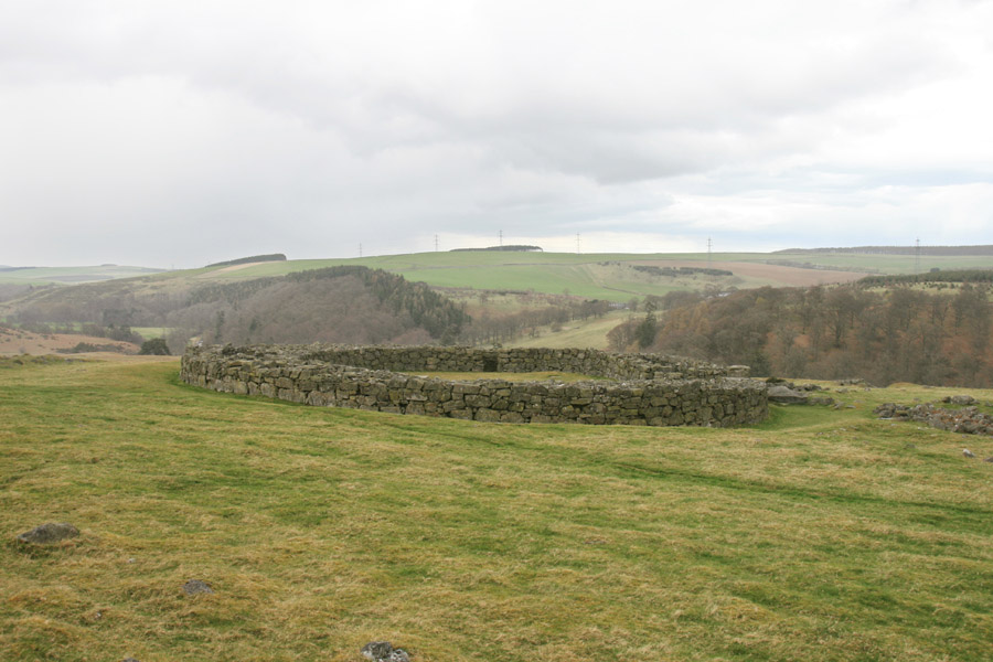
The entrance into the broch is to the south-south-east, and was protected by intramural guard chambers on either side of it. There are three further intramural chambers in the broch, including two chambers to the west which are linked to each other.
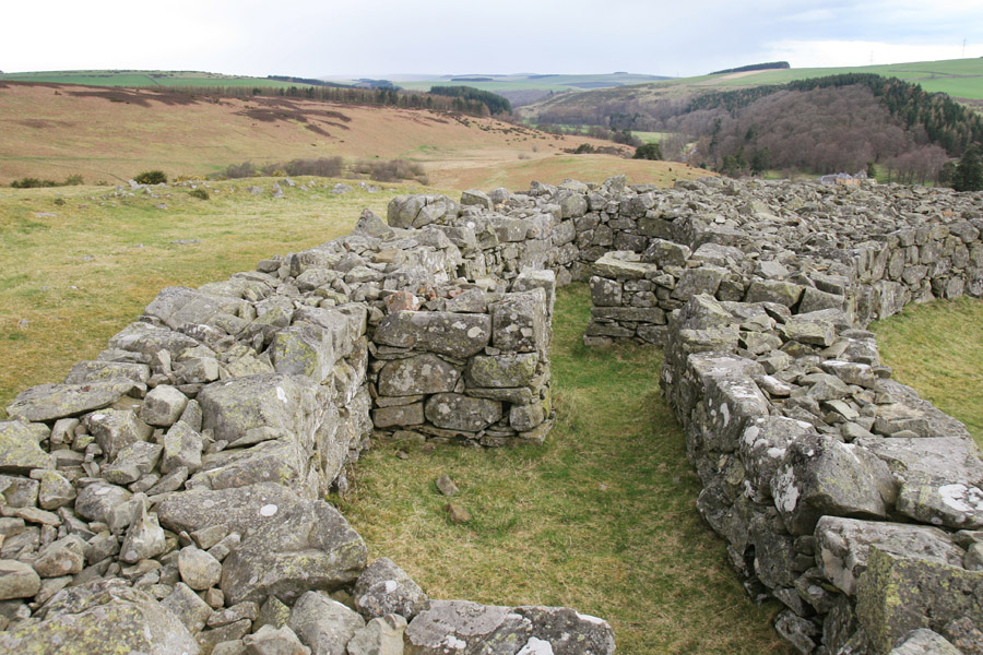
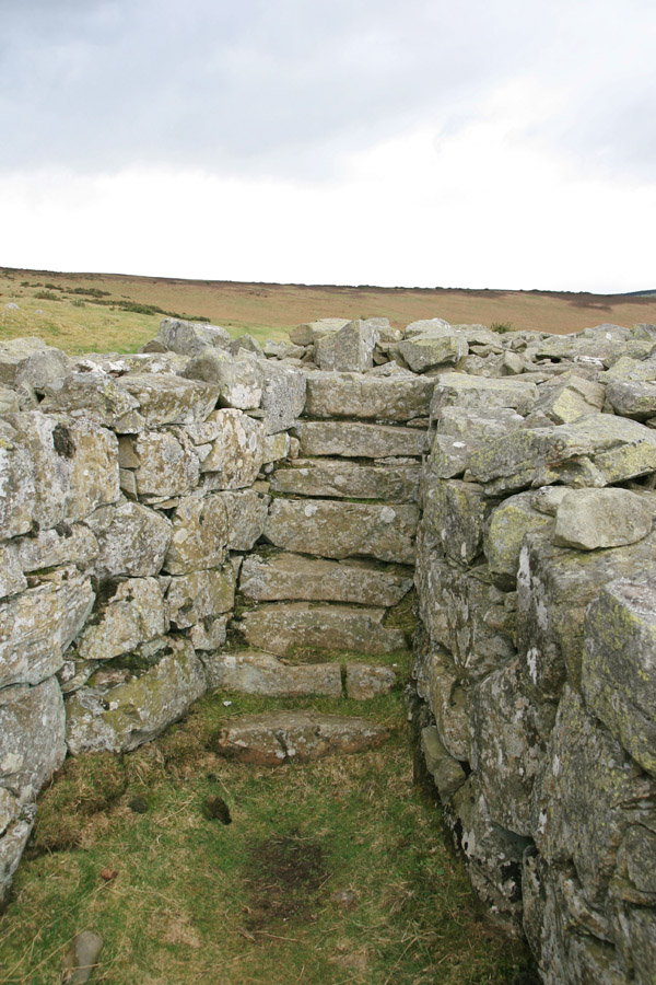
Another chamber contains an intramural staircase which would have given access to upper levels.
Clicking the photo below will open a panorama image in a new window to give you a full-width view of the broch.

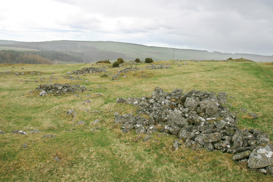
Dating to a period later than the broch, possibly later in the second century AD, are a range of hut circles, including one large one which is often supposed to have been the house of a chief. While the circles are clear in some places, in others they appear as an indistinct jumble of stones.
This is a seriously impressive site, the broch in particular, and is well worth a visit.
Alternative names for Edin's Hall
Edinshall; Odin's Hall
Where is Edin's Hall?
Edin's Hall is in the parish of Duns and the county of Berwickshire.
Grid reference: NT 77240 60310
Lat / long: 55.835521, -2.364871

