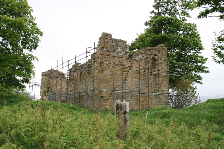
Uttershill Castle was built around 1510 as a two storey bastle house on a hill to the south of Penicuik.
The original western part of the castle was rectangular in plan, measuring around 12 metres long by around 7 metres wide. It consisted of a main hall above a vaulted ground floor.
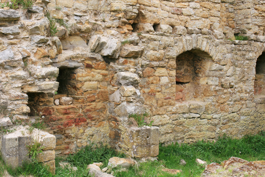
The entrance was at ground level on the south side, and a staircase led up to the first floor within the thickness of the east wall. In the early 17th century the castle was extended to the east, making a building around 19.8 metres long in total. The extension contained an unvaulted kitchen with a chamber above.
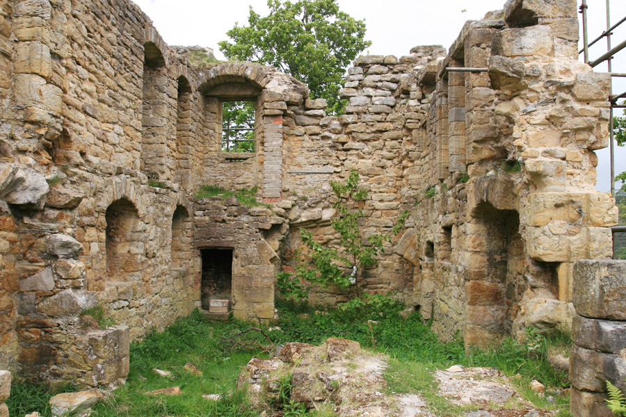
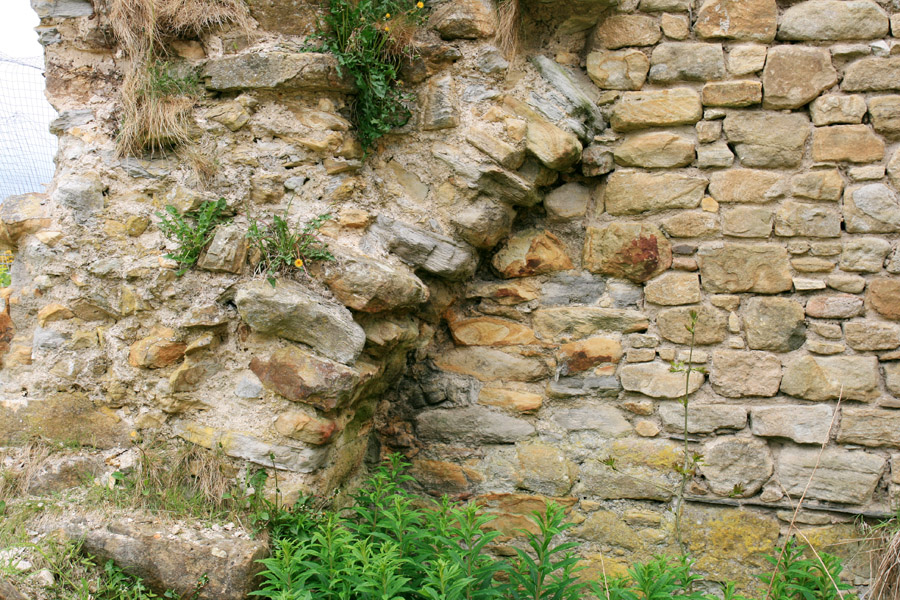
Little is known about the life of the castle, but by the late 19th century it was in ruins, and was being used as a gunpowder store for local mine workings. In the 1980s there were several collapses of masonry, further adding to its sorry state, and in 1993 it was bought by an Edinburgh architect with a view to restoration. It is still currently in ruins.


Alternative names for Uttershill Castle
Outers Hill Castle; Outtershill Castle; Utters Hill
Where is Uttershill Castle?
Uttershill Castle is in the parish of Penicuik and the county of Midlothian.
Grid reference: NT 23849 59430
Lat / long: 55.822135, -3.216895