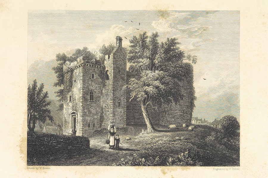
Rothesay Castle
Select Views of the Royal Palaces of Scotland
William Brown, Glasgow, 1840
William Brown, Glasgow, 1840
Rothesay Castle is a multi-period castle dating mainly to the 12th, 15th and 16th centuries.
In 1465 Sir John Stewart of Darnley was appointed Governor of Rothesay Castle.
In 1485 Sir John signed a contract with Charles of Pollok , lord of Ouir Pollok, for Pollok to keep the castle of Rothesay for five years on behalf of Lennox, for which Pollok was to be paid annually at “the castell of Cruxtoune“.


Alternative names for Rothesay Castle
Rosay; Rothsay