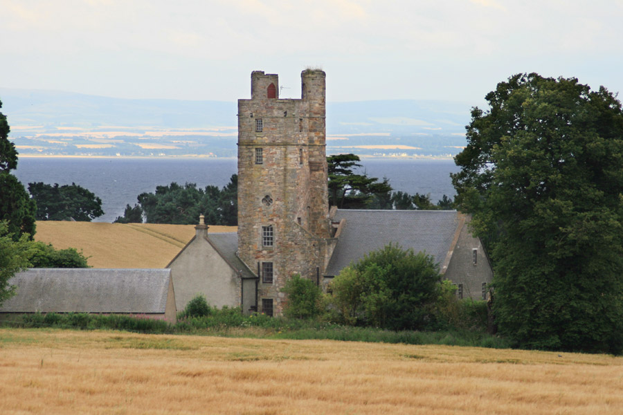
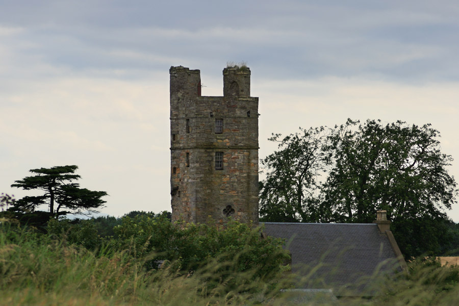
Lundin Tower is a 16th century tower house which was incorporated into the later Lundin House.
The lands of Lundin were held by the Lundin or Lundy family from the 12th century, and they had built a castle here by the 14th century.
In April 1526 William Lundy, as son and heir of Sir John Lundy of Lundy, was granted a precept of clare constat by John Hepburn, Prior of St Andrews, of the eighth part of the lands of Innergelly.
Walter Lundy of Lundy received a sasine of the eight part of the town of Innergellie in a charter by James Beaton, Archbishop of St Andrews, in July 1528.
Patrick Adamson, Archbishop of St Andrews, confirmed a charter of alienation by Andrew Wod of Strathwittie to William Lundy of Lundy of a 32nd part and half of a 32nd part of Innergellie in June 1582.
In October 1623 the forty shilling lands previously owned by William Lundie of Lundie, David Lundy of Newhall, James Geddie and Andrew Wood of Stravethie, were included amongst various parcels of land where were erected into the free burgh of barony of Innergellie in favour of William Barclay of Innergellie and Margaret Borthwick by John Spottiswood, Archbishop of St Andrews.
In 1738 Sophia Lundin, eldest daughter of the late Robert Lundin of Lundin and sister of James Lundin of Lundin, married Robert Lumsdaine of Lumsdaine, Stravithie and Innergellie.


Alternative names for Lundin Tower
Lundie; Lundin House; Lundy; Old Lundin House