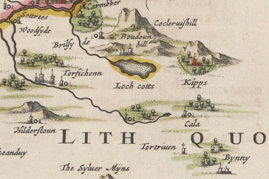
Lochcote Castle


Alternative names for Lochcote Castle
Lochquott
Where is Lochcote Castle?
Lochcote Castle is in the parish of Torphichen and the county of West Lothian.
Grid reference:NS 9769 7396
Lat / long:55.947793,-3.639753
Lochquott
Lochcote Castle is in the parish of Torphichen and the county of West Lothian.
Grid reference:NS 9769 7396
Lat / long:55.947793,-3.639753


Enter a starting point


