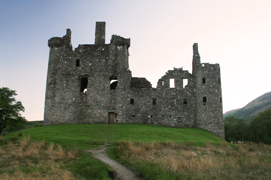
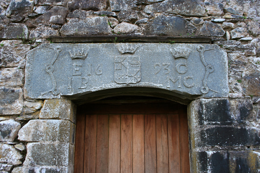
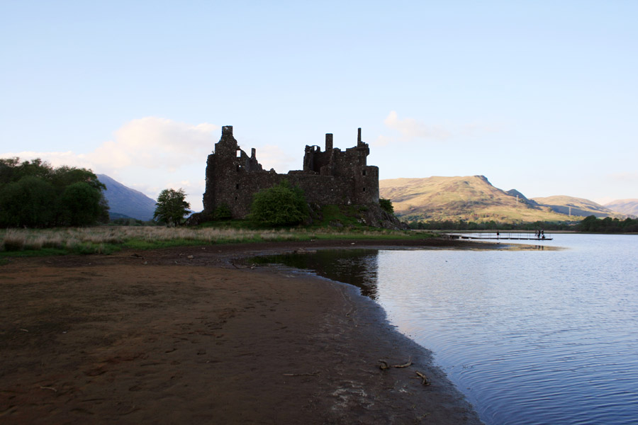
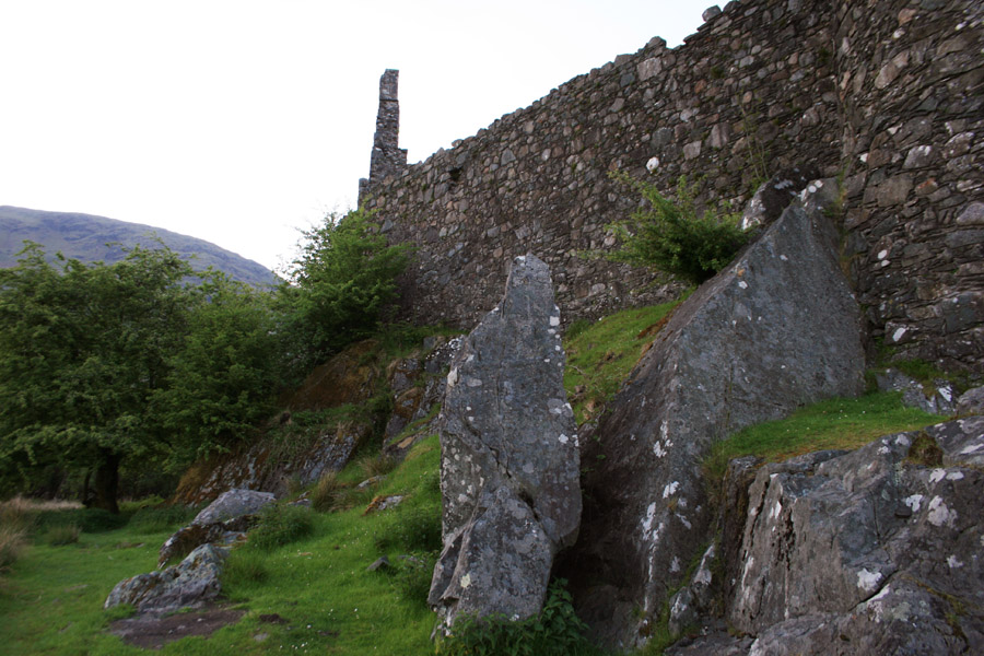
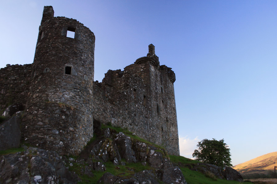
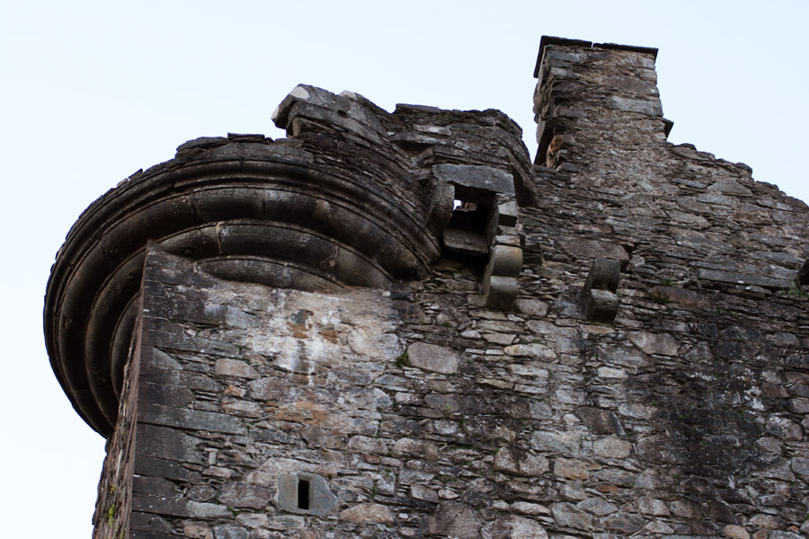
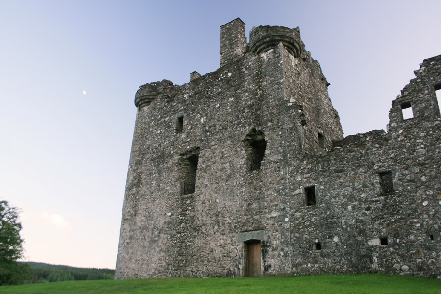
Kilchurn Castle


Alternative names for Kilchurn Castle
Caolchurn; Castelcalcharne; Castelcalchorne; Castellcalcharne; Castle Kelchurn; Castle Kelquherne; Castle Kilchurn; Glen Orchy; Glenorcay; Glenorche; Glenorchie; Glenorchy; Glenorquhair; Glenorquher; Glenurcha; Glenurchay; Glenurchey; Glenurchie; Glenurchye; Glenurquchy; Glenurquey; Glenurquha; Glenurquhai; Glenurquhaie; Glenurquhay; Glenurquhaye; Glenurquhey; Glenurquhie; Glenurquhy; Glenwrchie; Glenwrquhay; Kelchurn; Kilcairn Castle