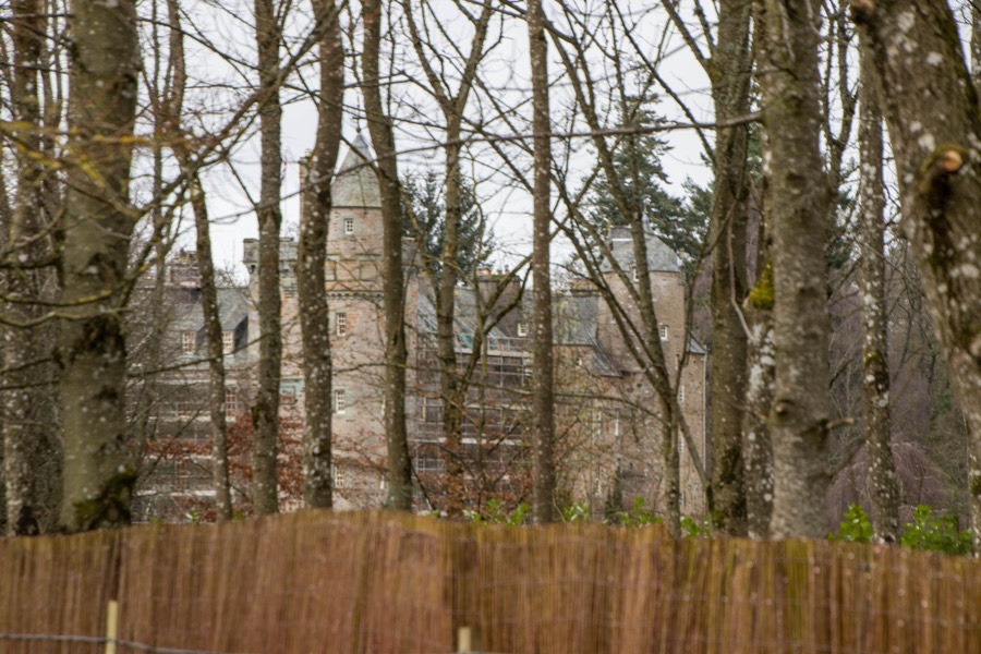
Grandtully Castle


Alternative names for Grandtully Castle
Castle Grantuly; Gairntully; Garntulie; Garntuly; Garntullye; Grantully Castle
Castle Grantuly; Gairntully; Garntulie; Garntuly; Garntullye; Grantully Castle
Grandtully Castle is in the parish of Logierait and the county of Perthshire.
Grid reference:NN 89117 51342
Lat / long:56.640751,-3.809458


Enter a starting point