Fordel Castle
Alternative names for Fordel Castle
Easter Fordel; Fordel; Old House Of Fordel
Where is Fordel Castle?
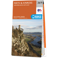
Fordel Castle is in the parish of Arngask and the county of Perthshire.
Grid reference:NO 14242 12535
Lat / long:56.297466,-3.387302
Easter Fordel; Fordel; Old House Of Fordel
Fordel Castle is in the parish of Arngask and the county of Perthshire.
Grid reference:NO 14242 12535
Lat / long:56.297466,-3.387302

Enter a starting point