Castlemilk (site of)
Alternative names for Castlemilk
Castle Milk; Castlemilk House; Castlemilk Tower
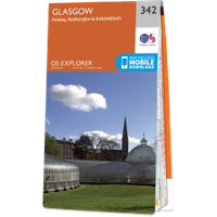
Where is Castlemilk?
Castlemilk is in the parish of Carmunnock and the county of Lanarkshire.
Grid reference:NS 60935 59530
Lat / long:55.80895900,-4.22053170