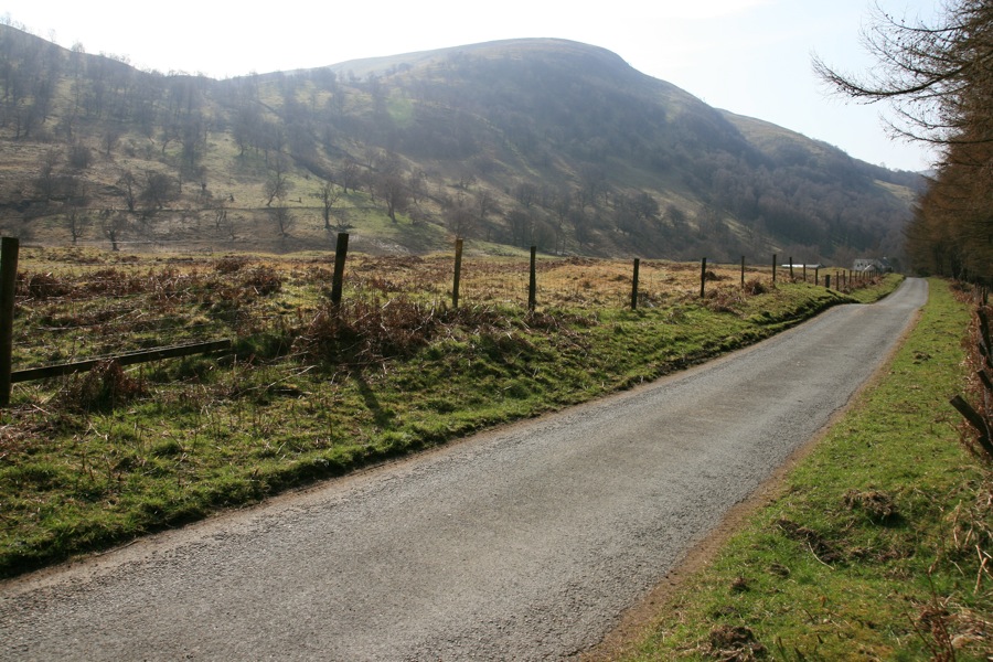
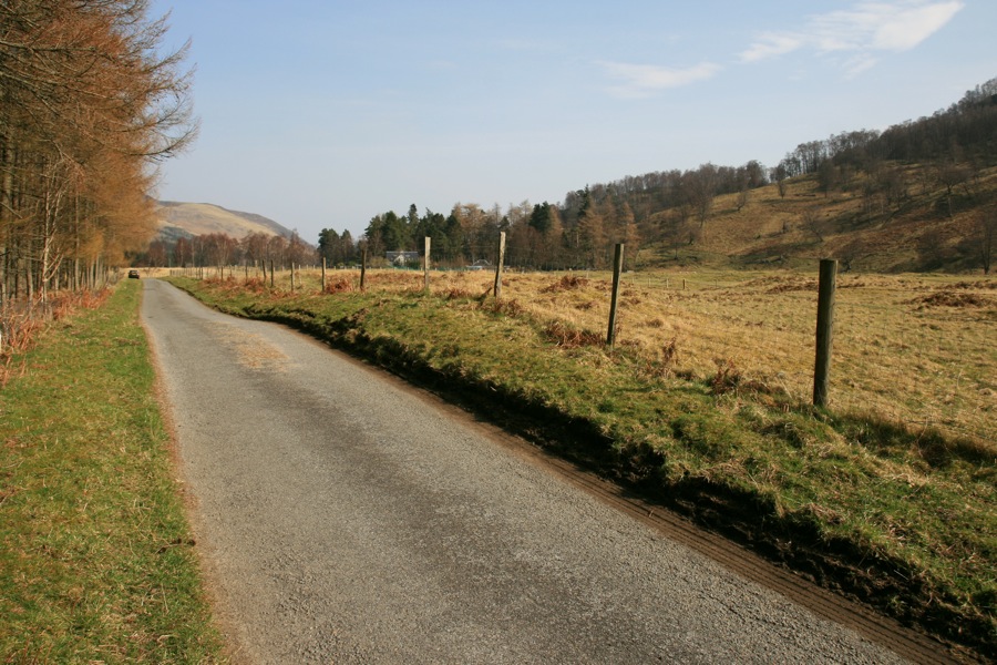
Bunrannoch


Alternative names for Bunrannoch
Old Castle
Where is Bunrannoch?
Bunrannoch is in the parish of Fortingall and the county of Perthshire.
Grid reference:NN 662 578
Lat / long:56.69317,-4.185539
Old Castle
Bunrannoch is in the parish of Fortingall and the county of Perthshire.
Grid reference:NN 662 578
Lat / long:56.69317,-4.185539


Enter a starting point


