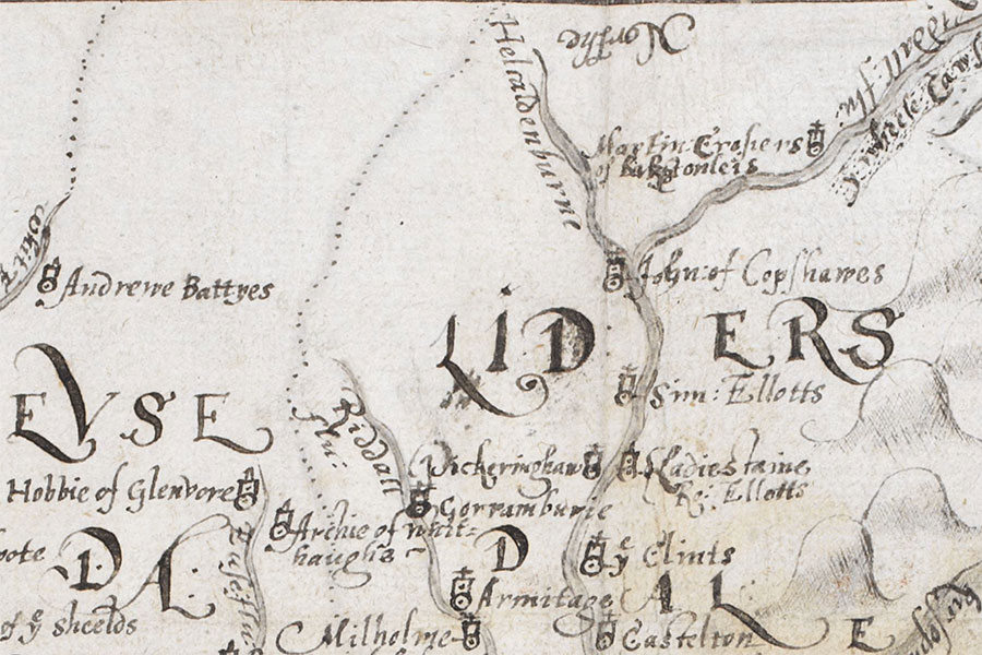

A tower belonging to Robert Elliot of Larriston once stood here but nothing of it now remains.
The tower is marked as “Ladiestaine Ro: Ellotts” on a map of 1590 which appeared in “An atlas of England and Wales, made by Christopher Saxton”, a book owned by William Cecil, 1st Baron Burghley, and commonly referred to as The Burghley Atlas.
During the 18th century Larriston House was built, presumably as a replacement for the old tower. Early in the 19th century the foundations of the old tower were dug up, when workmen discovered the remains of a large oven and an 18lb. cannonball.
Alternative names for Larriston Tower
Haggiehaugh; Haggishaugh; Haggys-heugh; Ladiesfaine; Ladiestaine; Ladieston Tower; Ladiestone Tower; Lairiestounes; Lamestone; Lanorowstanys; Larastanis; Larestanis; Larestanys; Lariestoun; Lariestounis; Lariston; Laristown; Larlestane; Larostanys; Larriston House; Lower Larriston; Larrostane; Lauerokstanis; Lauriestone; Lauriston; Lawrellstane; Zaristounn


